

Part One of Two
I've walked sections of Taylor Creek Trail and the Lower Don Trail many times over the years, but this was my first time entering the trail network via the staircase at Cullen Bryant Park. There always seems to be another entrance waiting to be discovered, and a familiar trail can feel completely different when approached from a new direction.
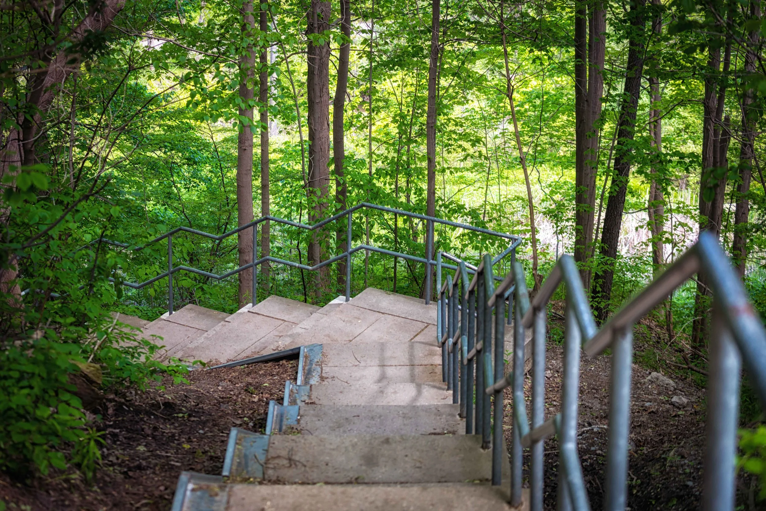
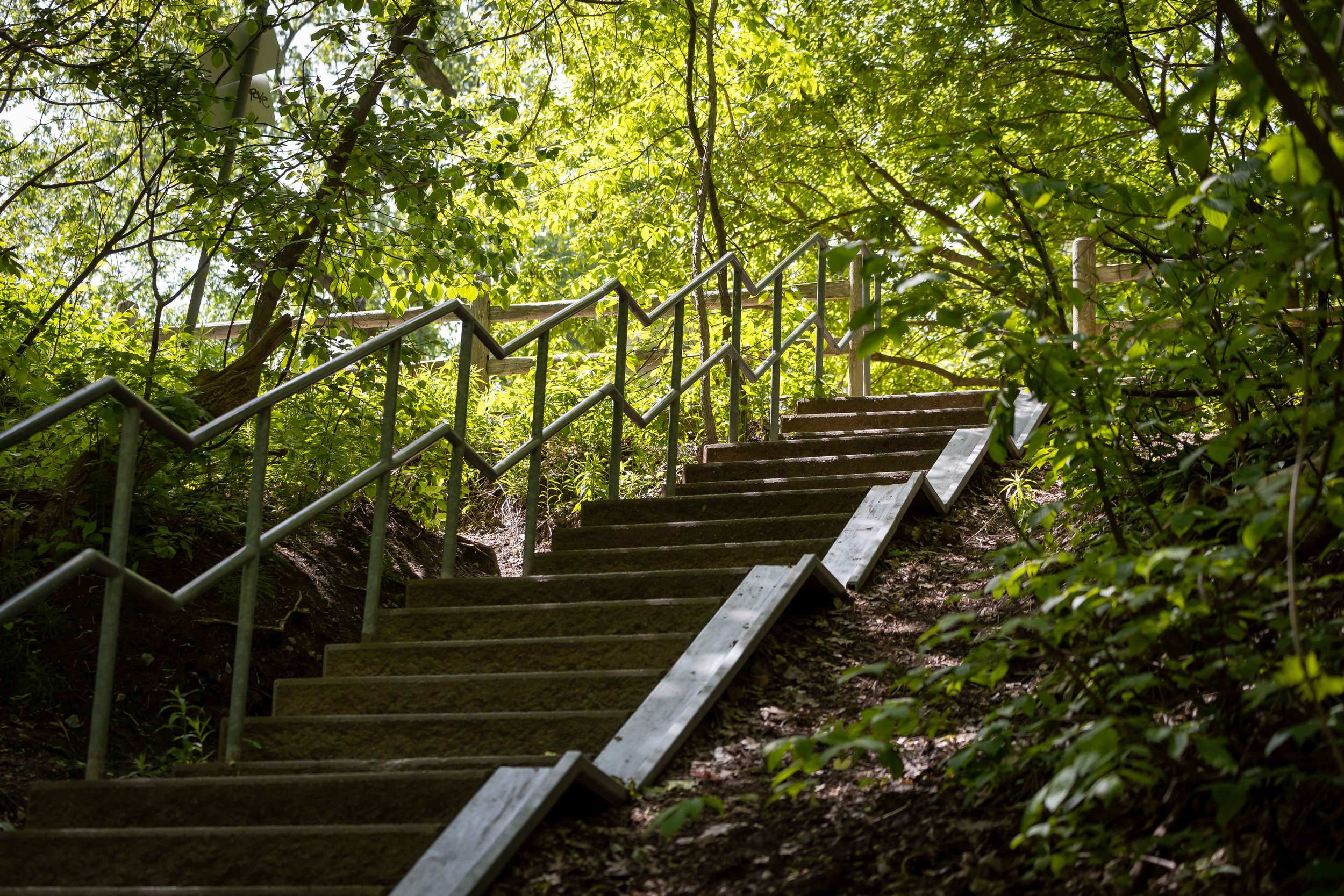
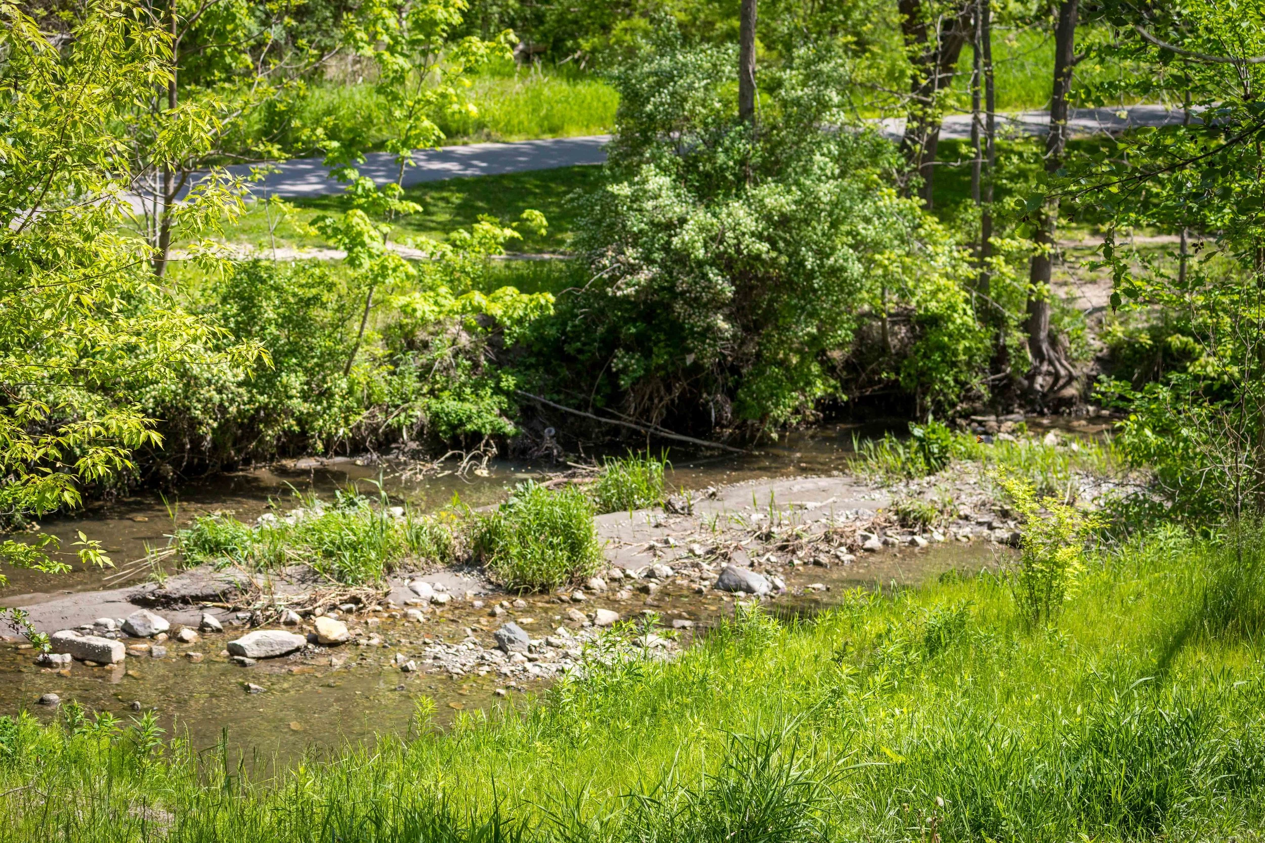
The long concrete staircase winds its way down through the trees, gradually leaving the surrounding neighbourhood behind. With each landing, the sounds of the city fade a little more, replaced by birdsong, rustling leaves, and the gentle movement of Taylor-Massey Creek below.
Spring is a wonderful time to explore Toronto's ravines. Fresh leaves are still emerging throughout the canopy, filling the valley with vibrant greens while making it easier to spot birds before the forest becomes denser in summer.
At the bottom of the stairs, I joined Taylor Creek Trail and followed it west through the valley before connecting with the Lower Don Trail and continuing on to Evergreen Brick Works.
What I enjoy most about Toronto's trail system is how interconnected it is. A walk that begins on a neighbourhood staircase can become a journey through kilometres of protected green space, linking parks, waterways, and trails across the city. On this day, the route led me all the way to Evergreen Brick Works.
One of the reasons I keep returning is that the experience is never quite the same twice. Changes in season, weather, wildlife, and light can transform even a familiar trail into something entirely different.
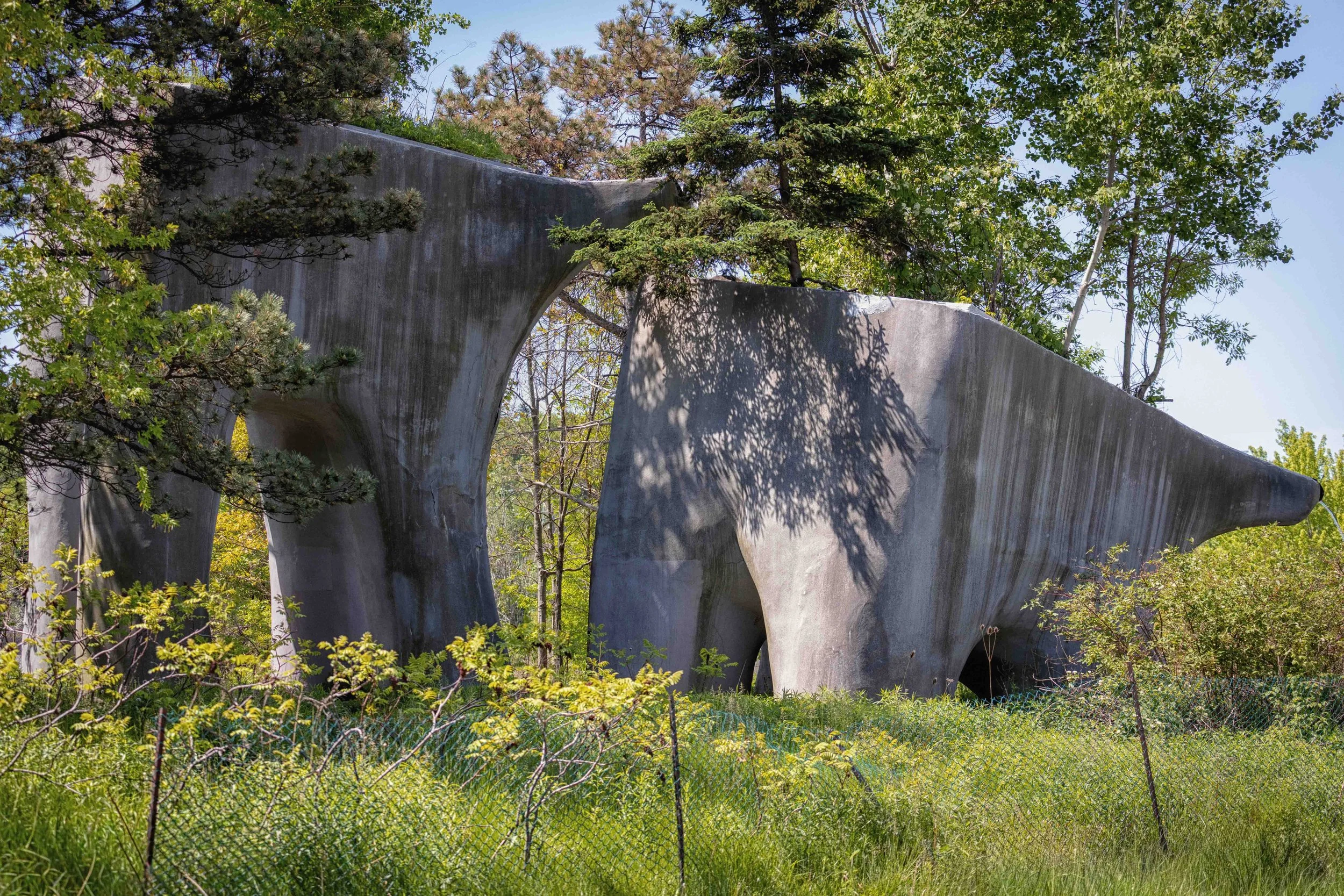
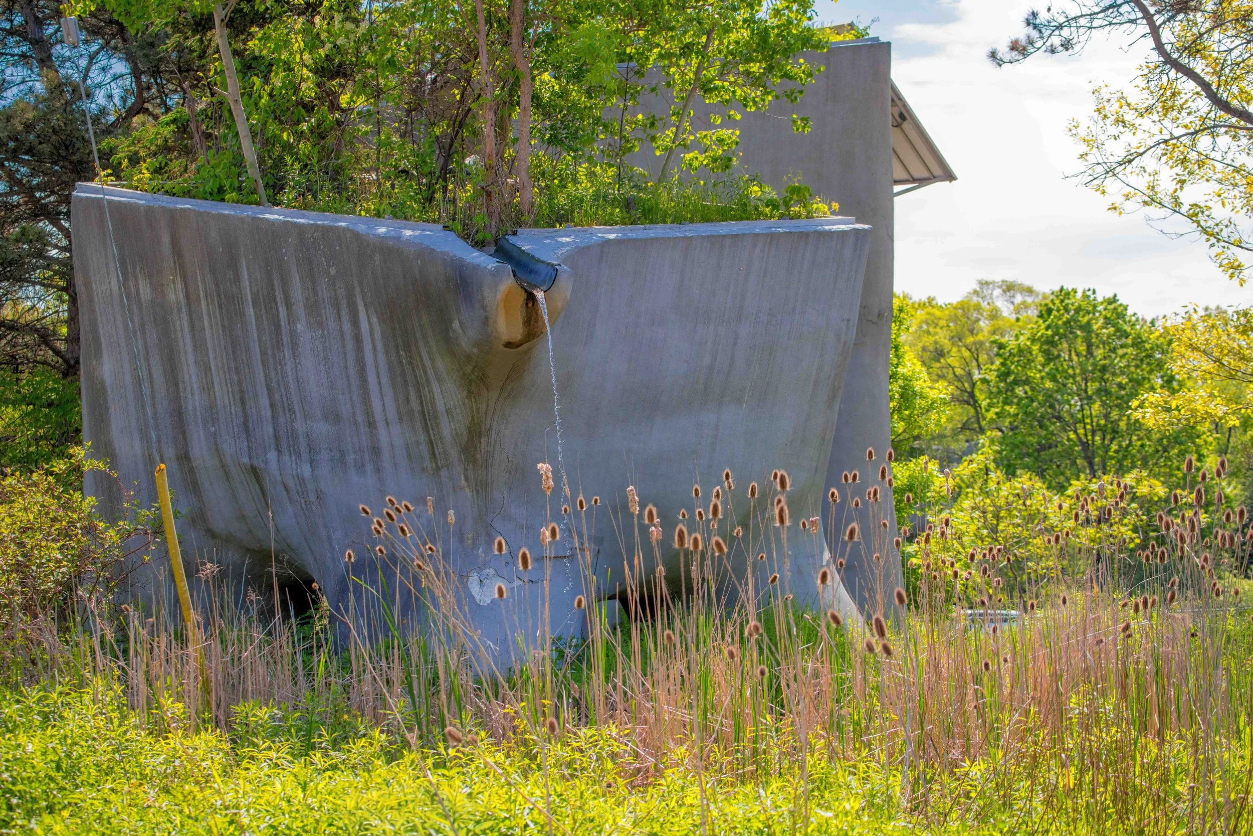
Along the trail, I passed The Elevated Wetlands by Toronto artist Noel Harding. Part sculpture and part environmental project, the towering forms emerge from the greenery in a way that feels both futuristic and strangely at home within the valley landscape. With elements located on both sides of the trail, the work unfolds gradually as you move through the space.
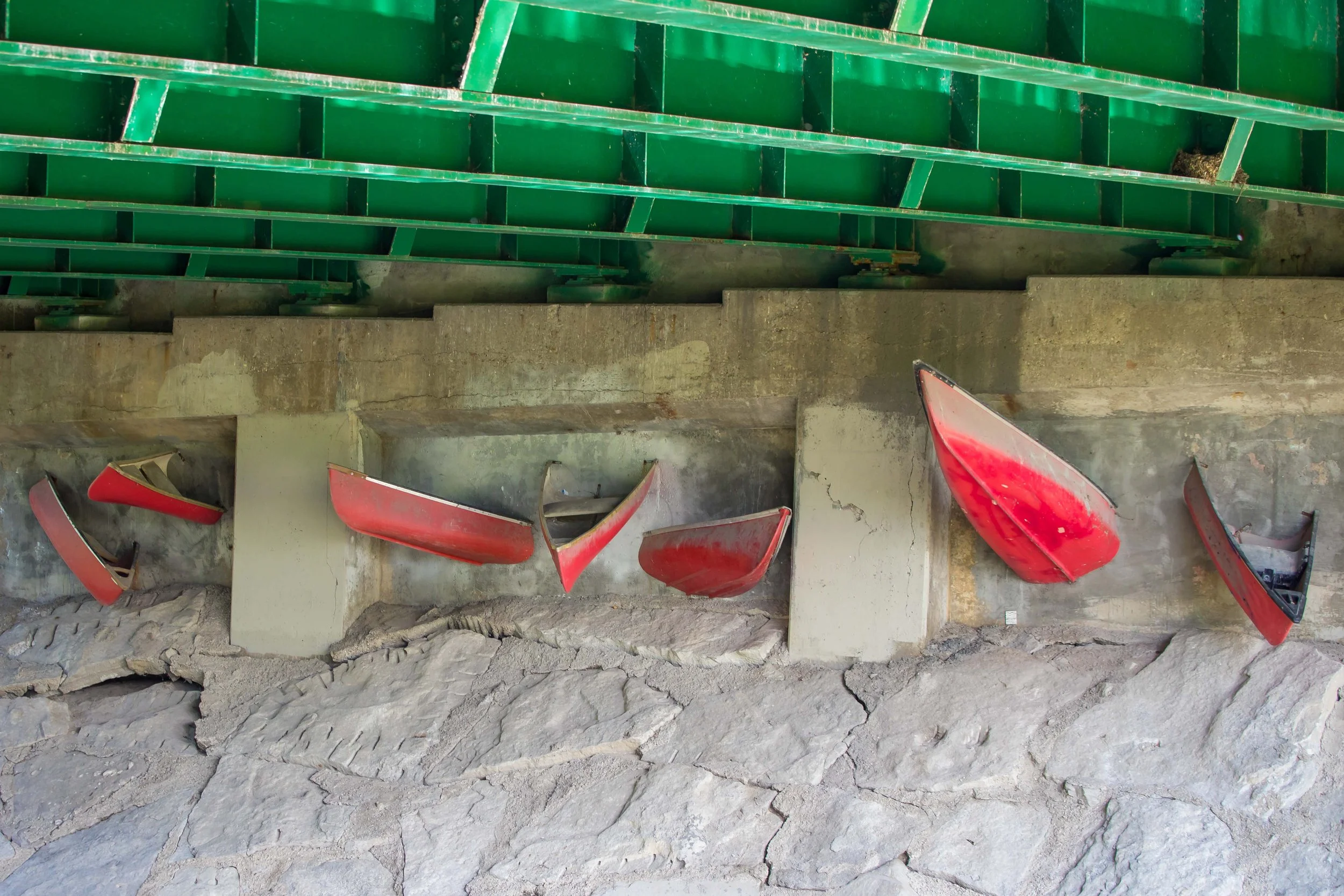
Beneath the Don Mills Road bridge, I came across Passage, a public art installation by Labspace Studio. Sections of red canoes appear embedded within the concrete structure, creating a striking contrast between the river below and the infrastructure above. The work reflects on Toronto's waterways and the important role rivers once played as transportation routes through the region.
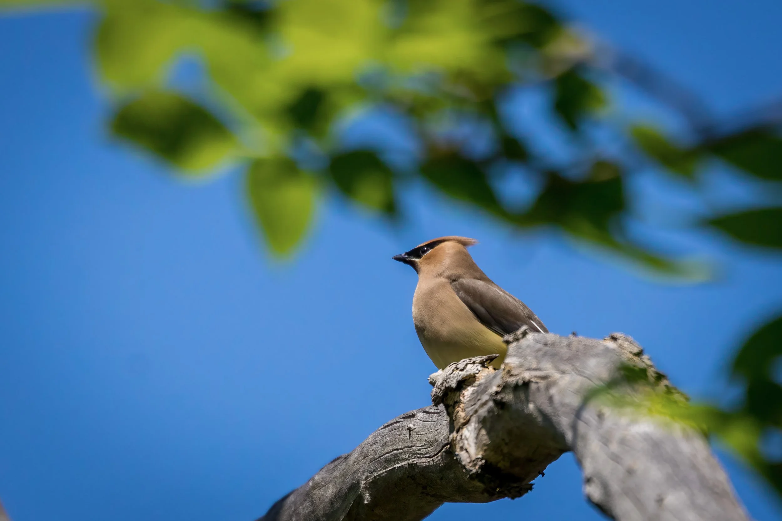
Spring's still-emerging canopy made it easier to spot birds along the trail, including this Cedar Waxwing perched high above the path. Moments like these are another reason I enjoy returning to Toronto's ravines throughout the year.
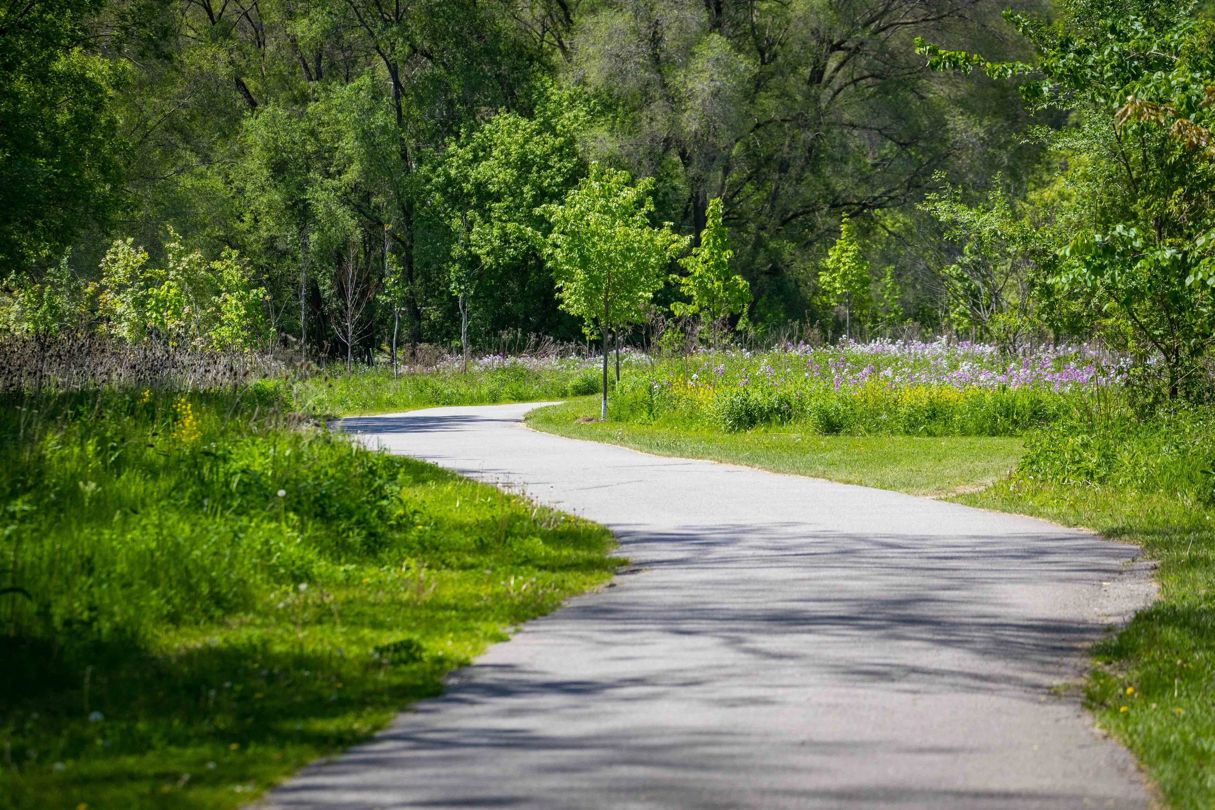
As the trail continued west, it wound through meadows and pockets of wildflowers, offering views that felt surprisingly distant from the city beyond the valley walls.
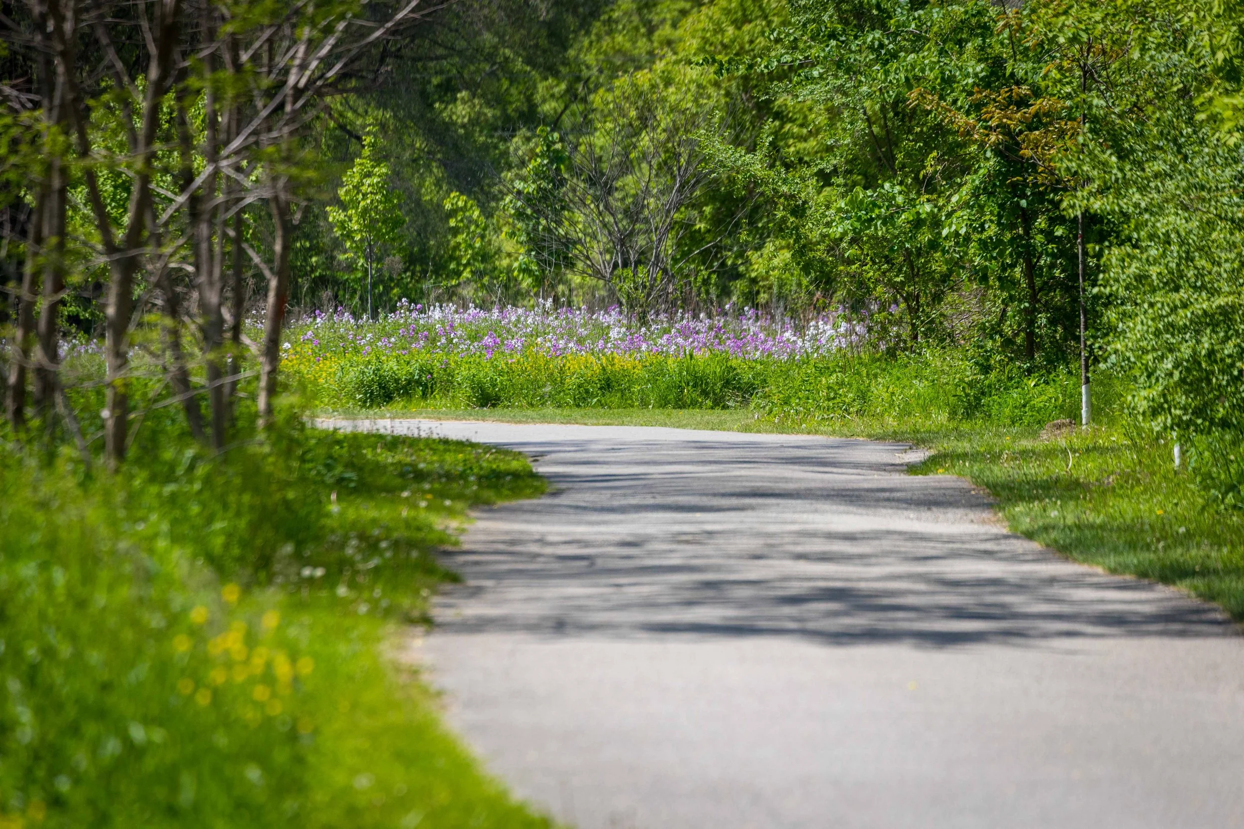
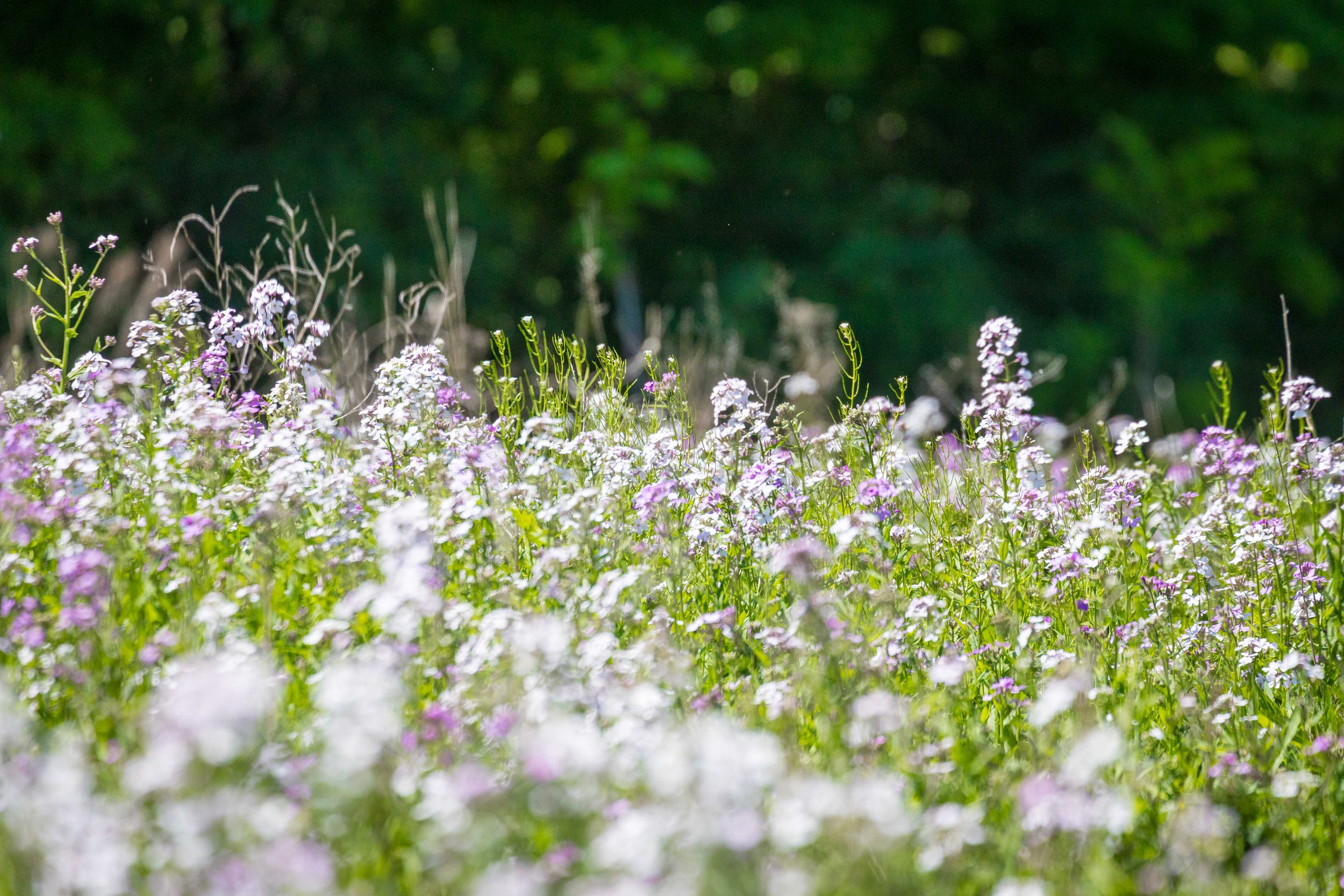

Backlit seed heads stood above the surrounding vegetation, catching the afternoon light and adding texture to the landscape.
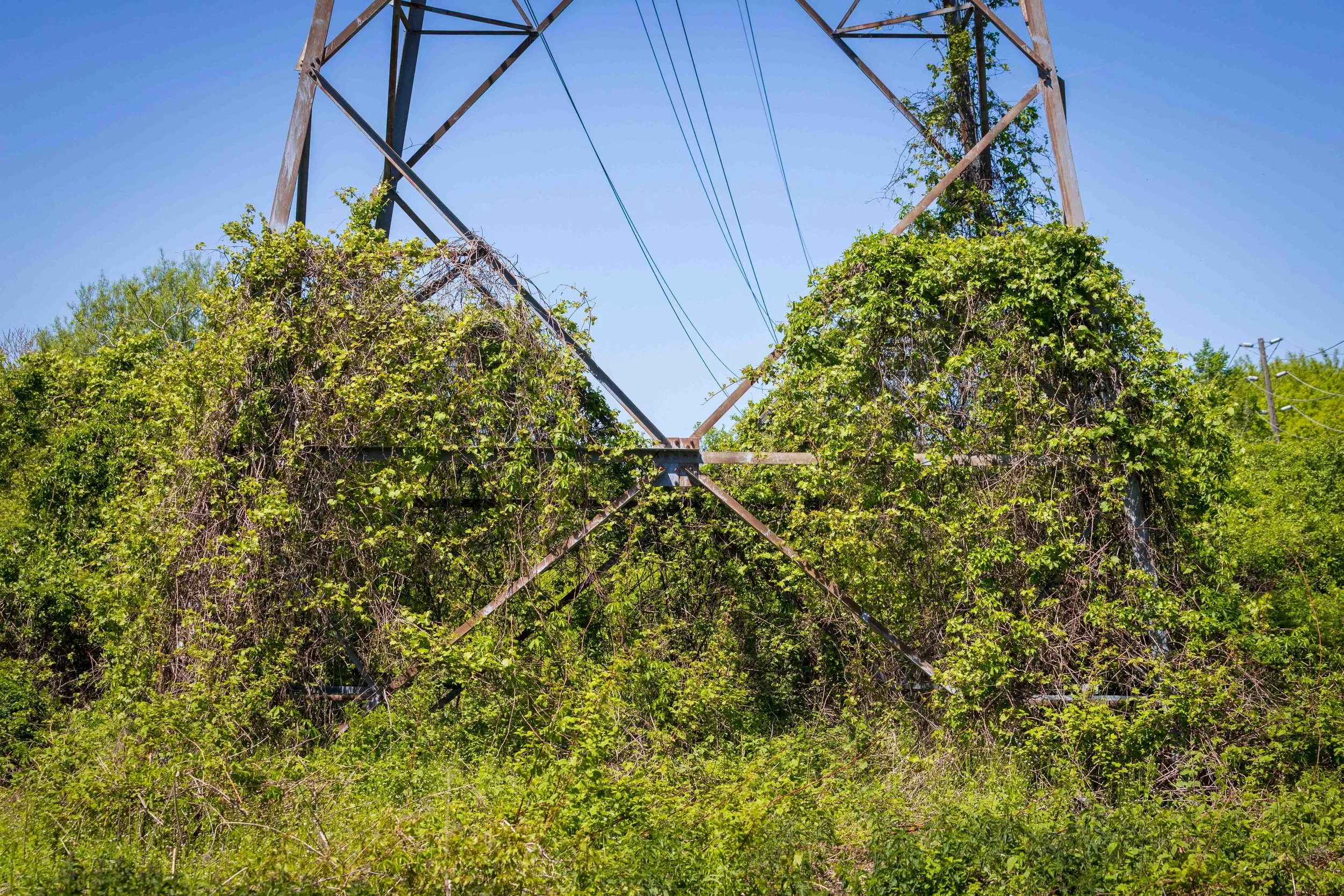
Throughout the walk, signs of the city's infrastructure appeared and disappeared among the vegetation. Vines climbed the steel structures, blurring the line between the built and natural landscape. Among the tangle of branches and leaves, birds had already begun nesting for the season.
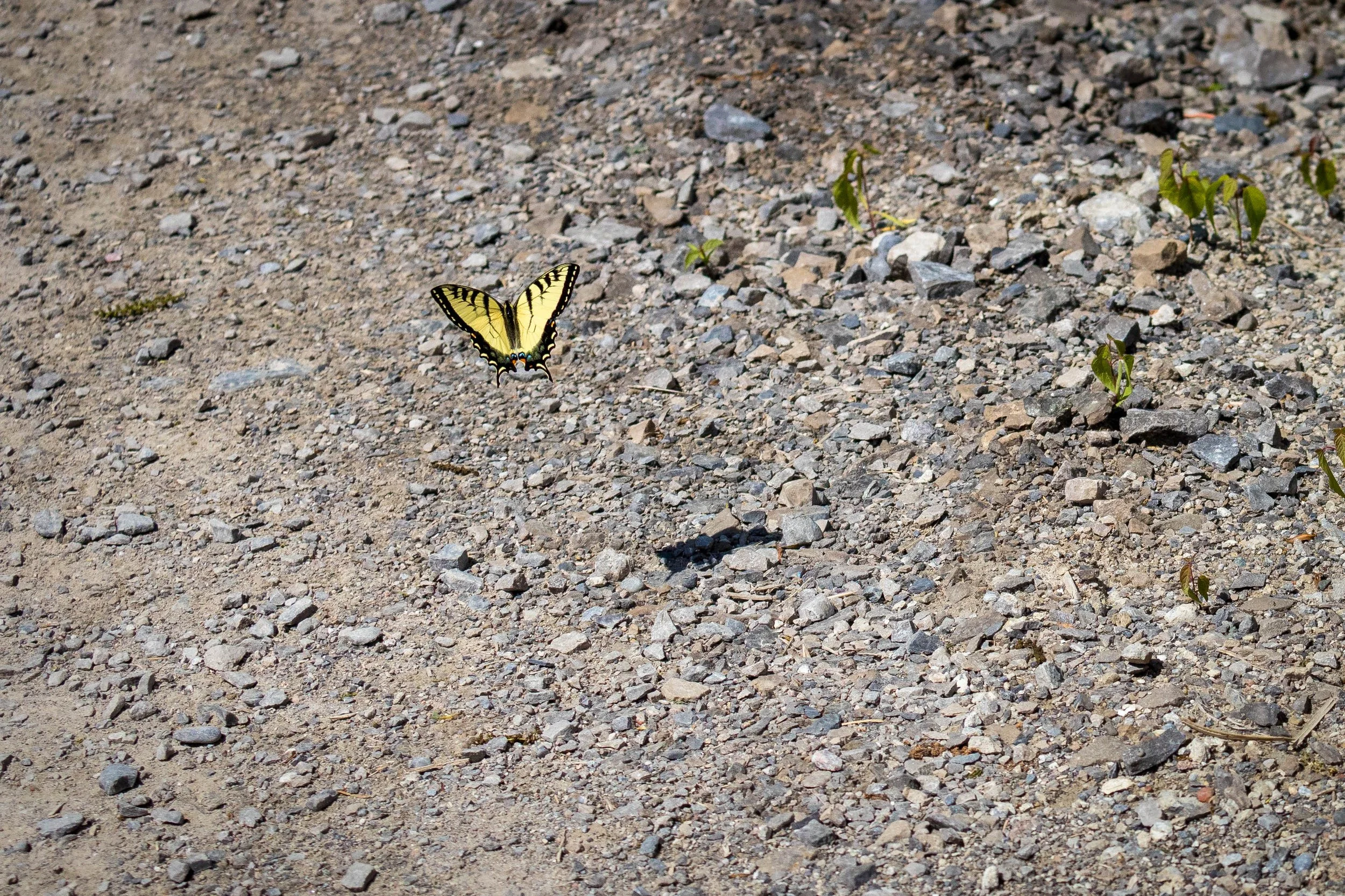
An Eastern Tiger Swallowtail seemed determined to accompany me for part of the walk, repeatedly appearing along the trail. I eventually managed to capture it hovering just above the gravel, with its shadow visible below.
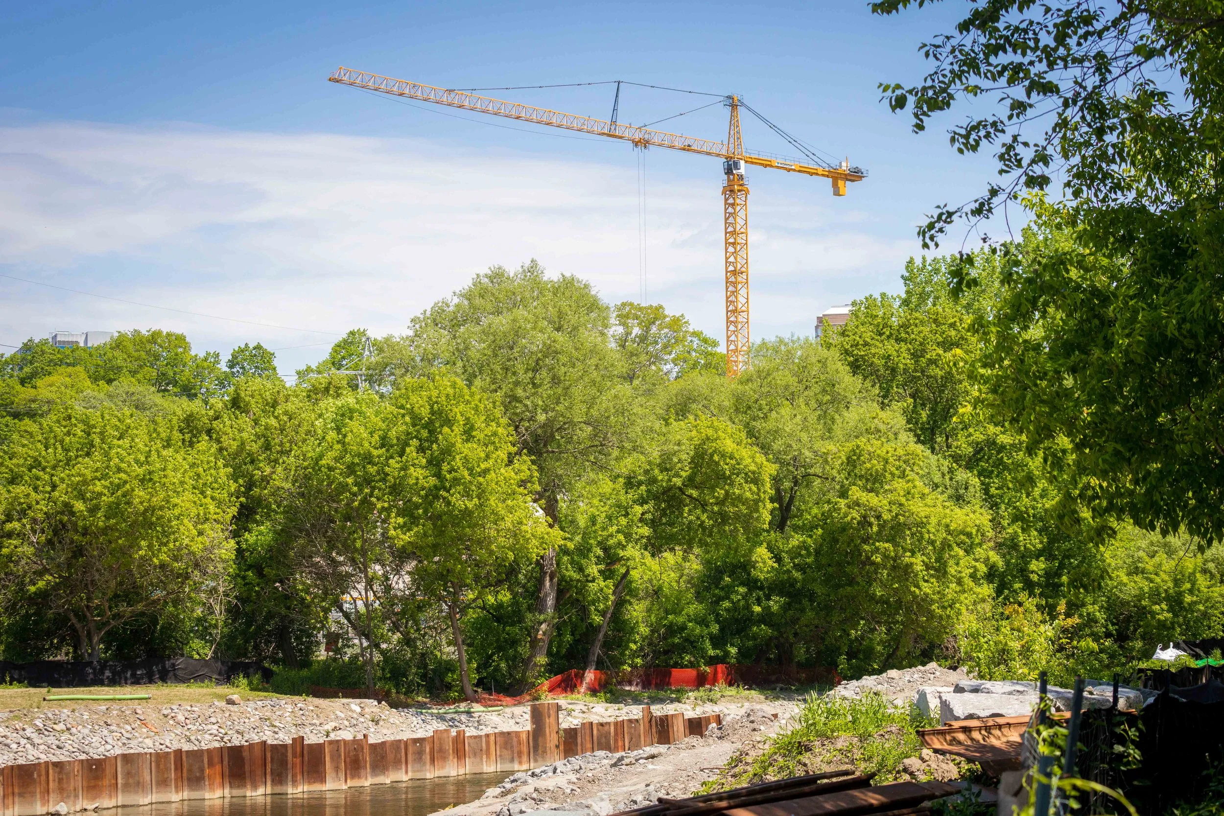
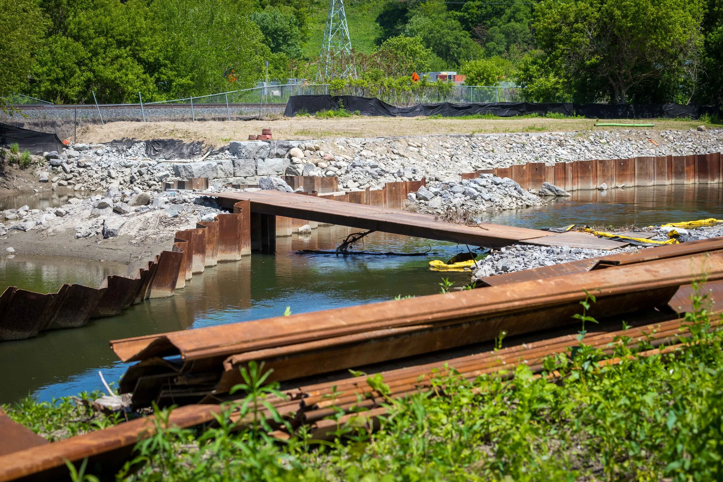
Near Cottonwood Flats, evidence of ongoing restoration and flood protection work was visible along the river. Cranes and construction materials stood in contrast to the surrounding greenery, highlighting the balance between protecting natural spaces and managing the challenges of an urban watershed.
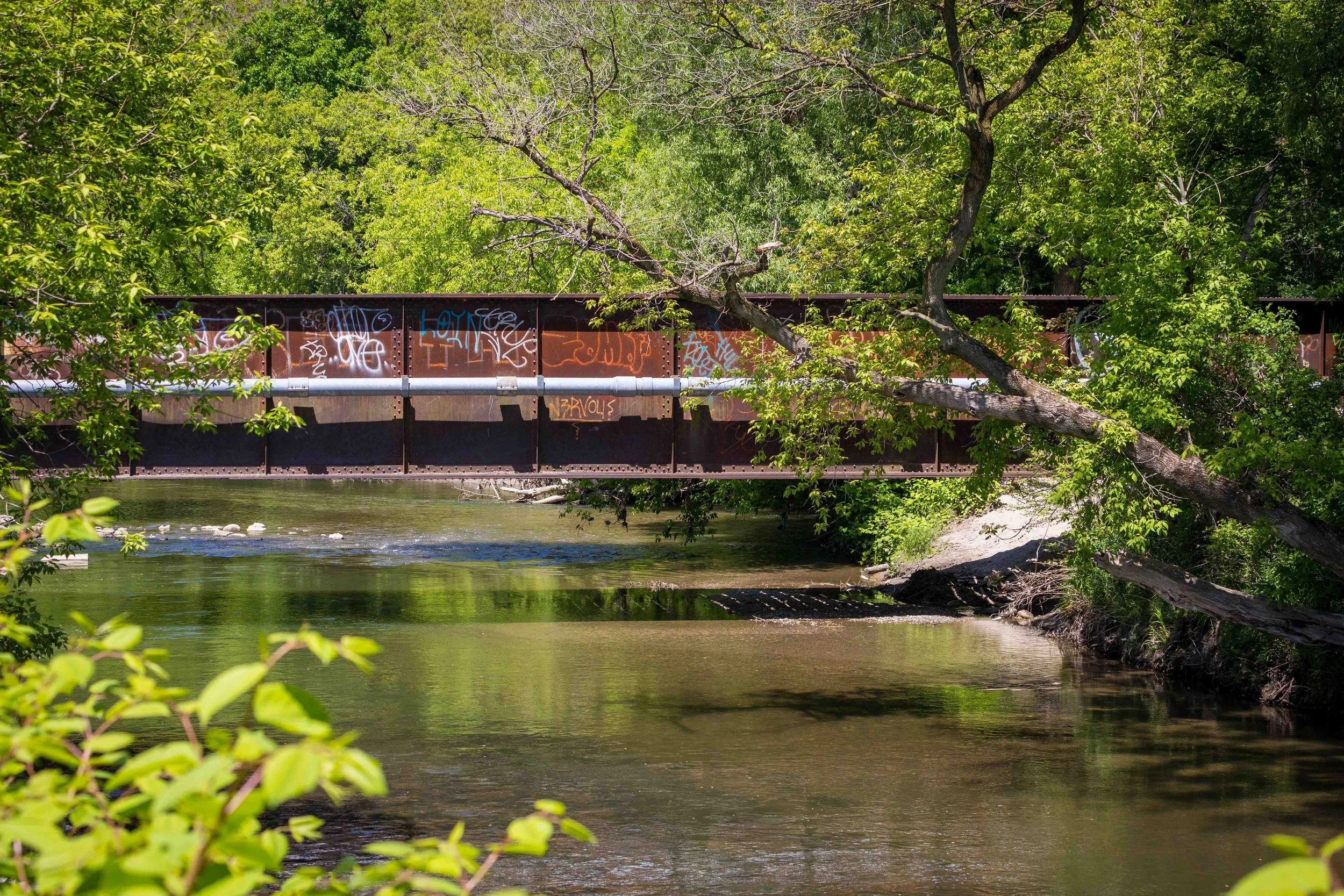
Crossing the Don Valley near Cottonwood Flats, this historic railway bridge reflects another layer of the area's industrial heritage. Part of a rail corridor with roots in the former Ontario and Quebec Railway, the riveted steel structure has carried trains through the valley for more than a century. Today, surrounded by trees and vegetation, it stands as a reminder of how closely transportation, industry, and the natural landscape have been connected throughout the Don Valley's history.
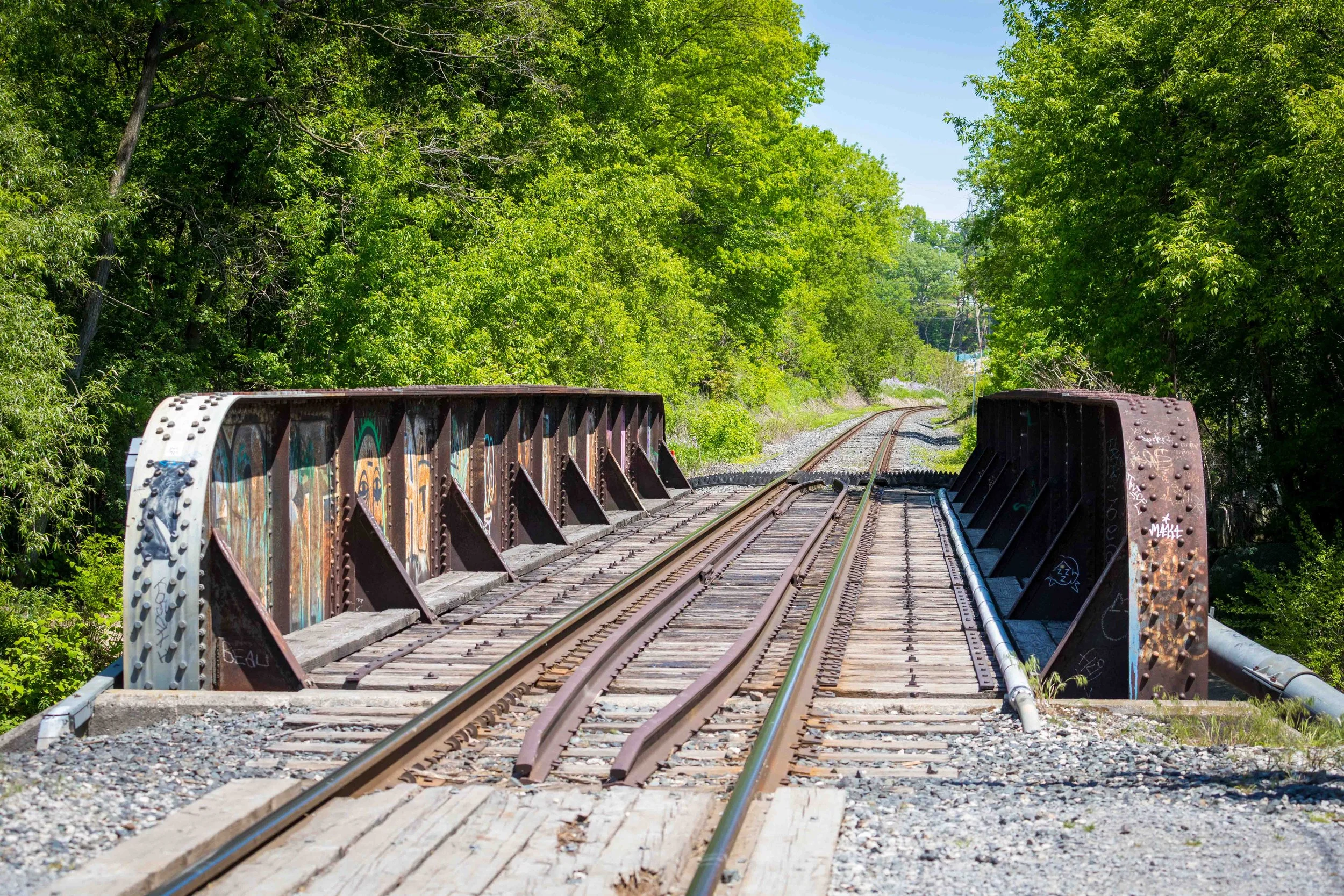
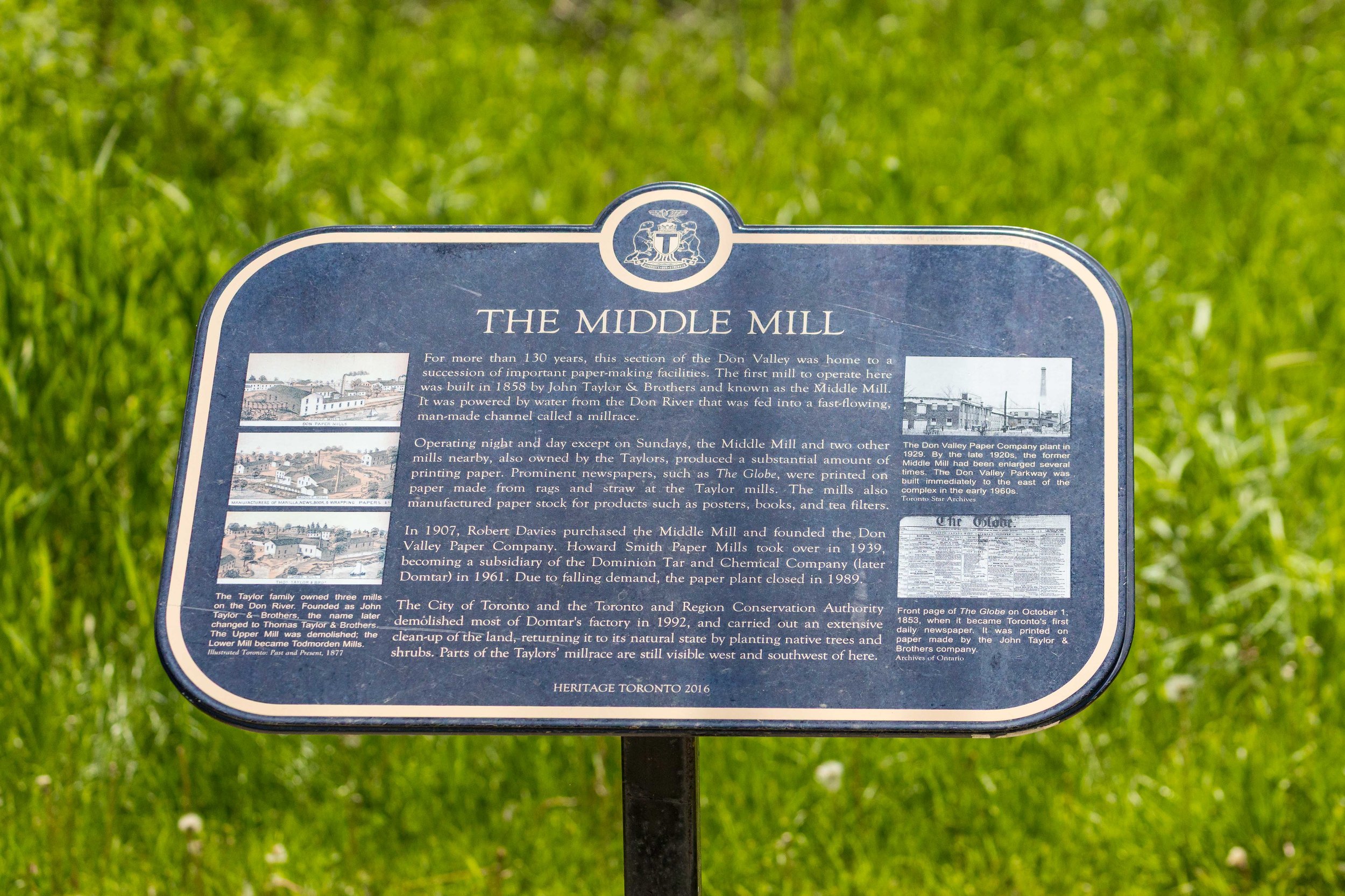
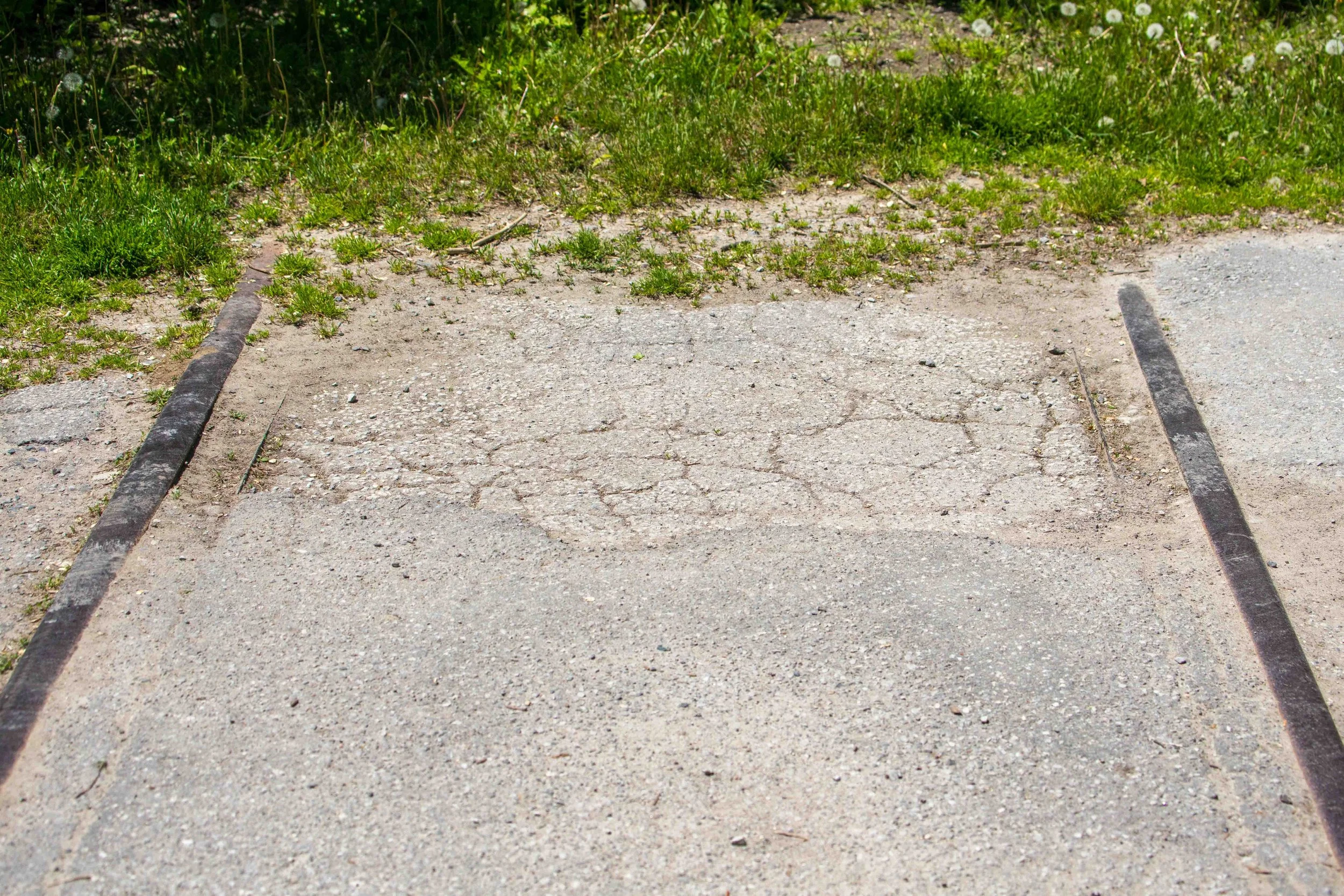
The railway bridge is not the only reminder of the Don Valley's industrial past. Further along the trail, a Heritage Toronto plaque marks the site of the former Middle Mill, one of several paper-making operations that once relied on the Don River for power. Nearby, sections of old rail track remain embedded in the trail surface, easy to overlook but still visible to those paying attention. Together, these traces of the valley's industrial and transportation history offer a glimpse into a time when the Don was as much a working landscape as it was a natural one.
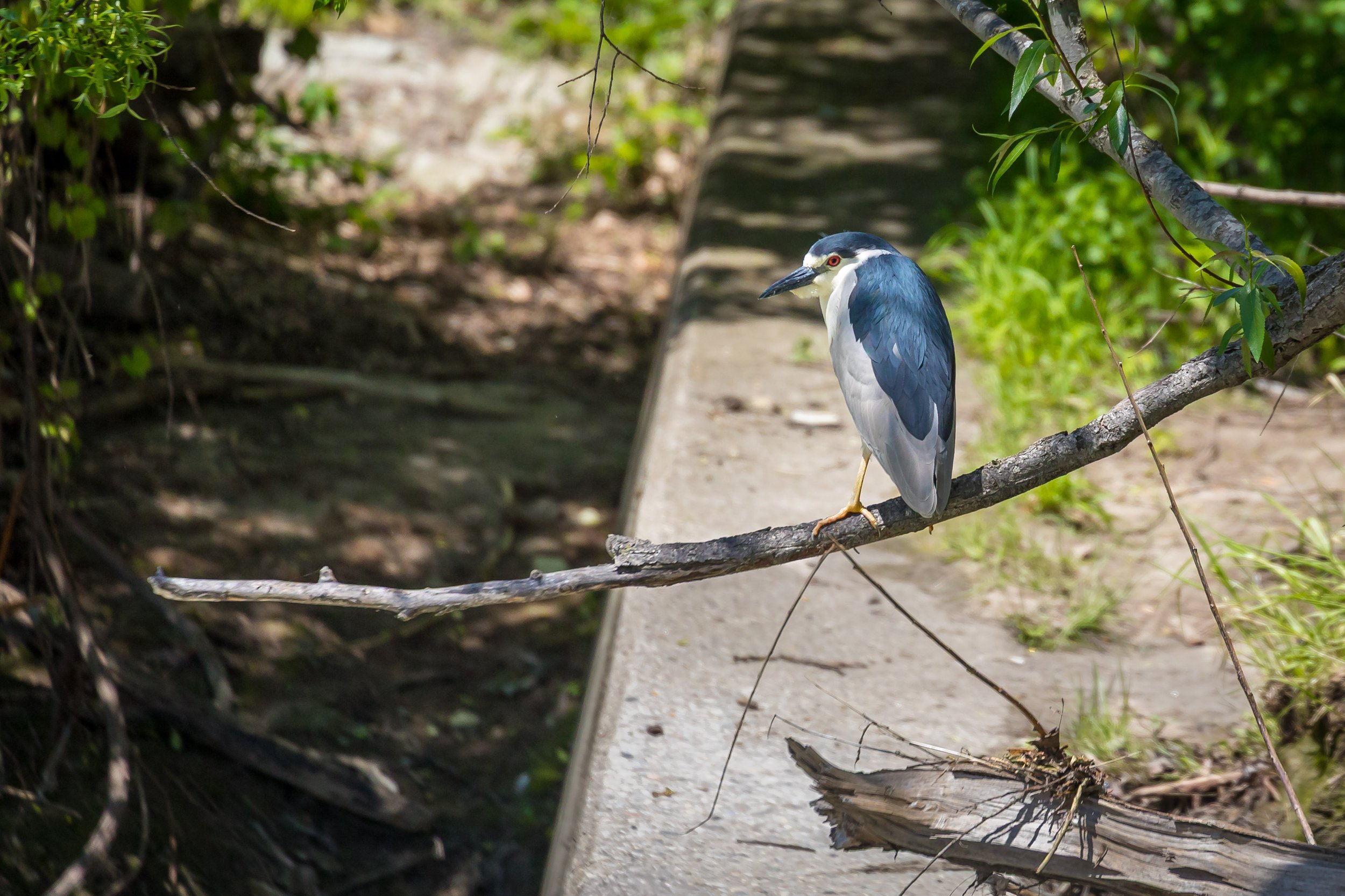
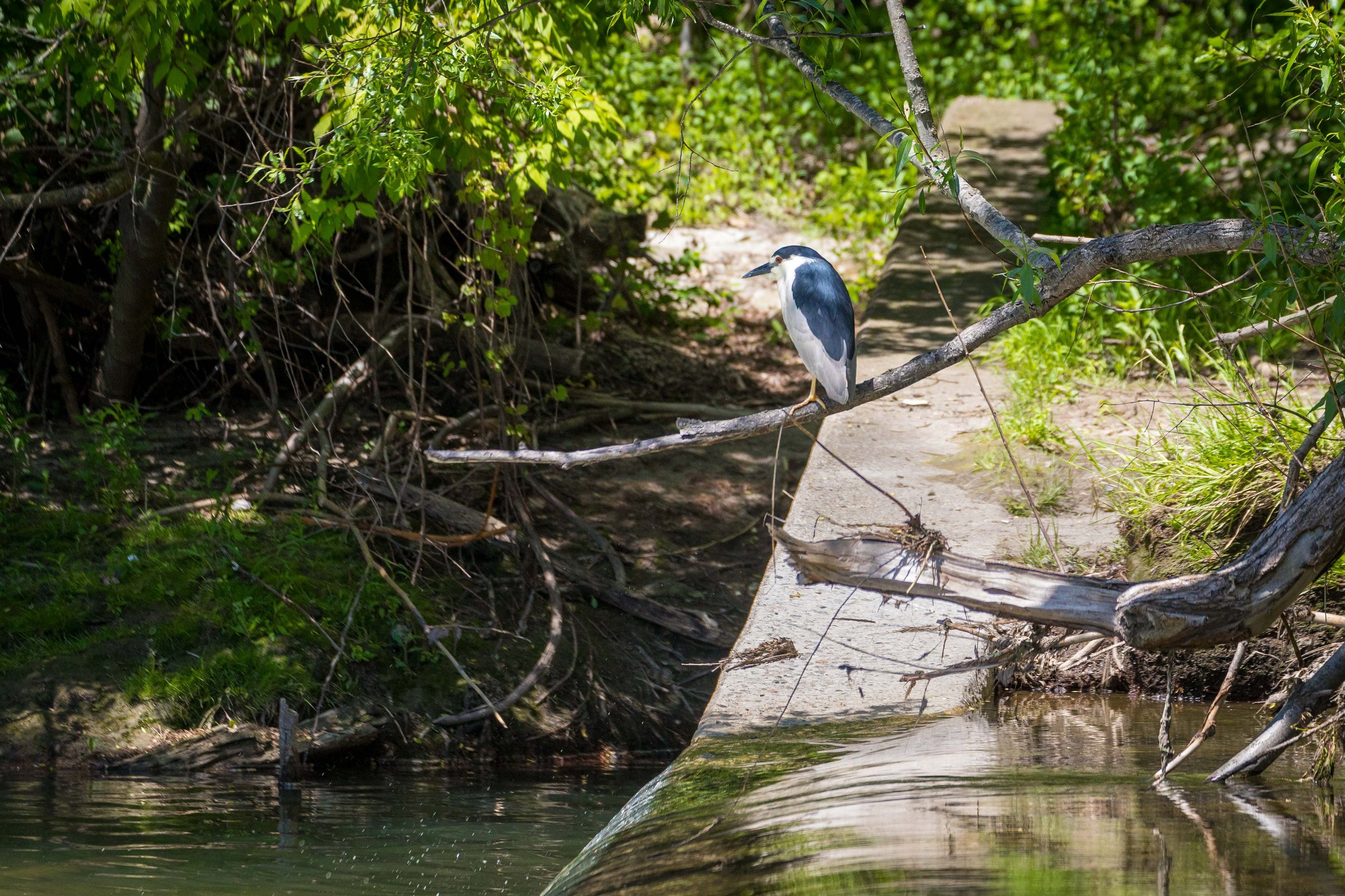
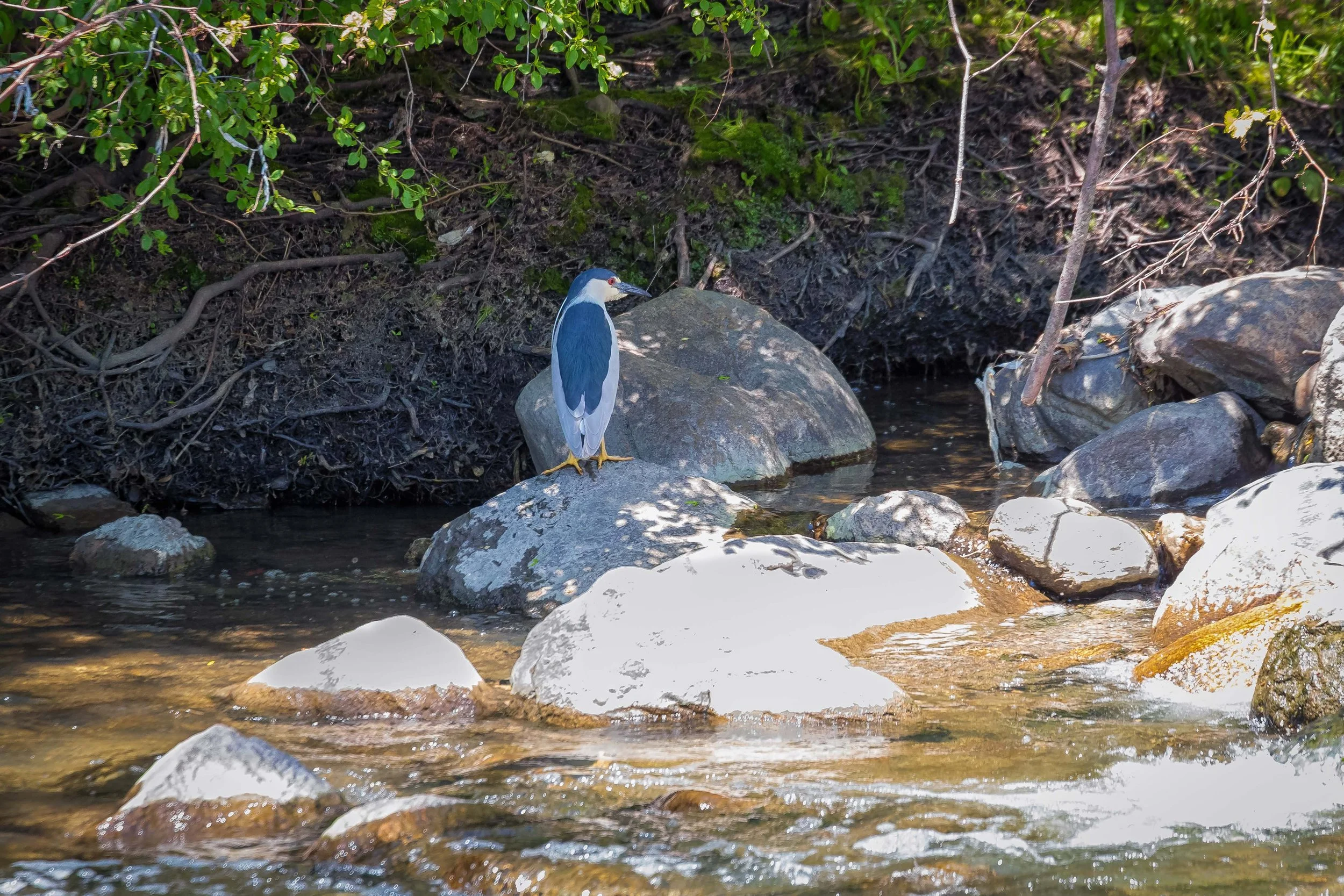
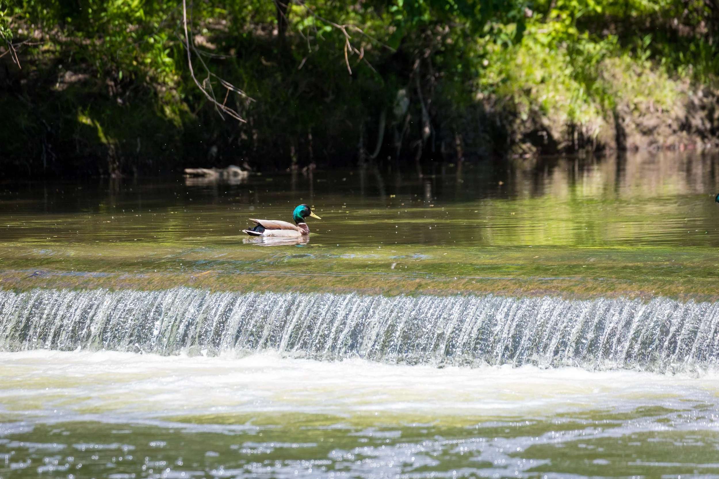
Near the Don River fish ladder, a Black-crowned Night Heron stood quietly above the water, watching for its next meal. The fish ladder was built to help migratory fish move upstream around a former industrial barrier, but it has also become an important habitat for wildlife. Birds, fish, and other species now make use of a space that was created to reconnect the river.
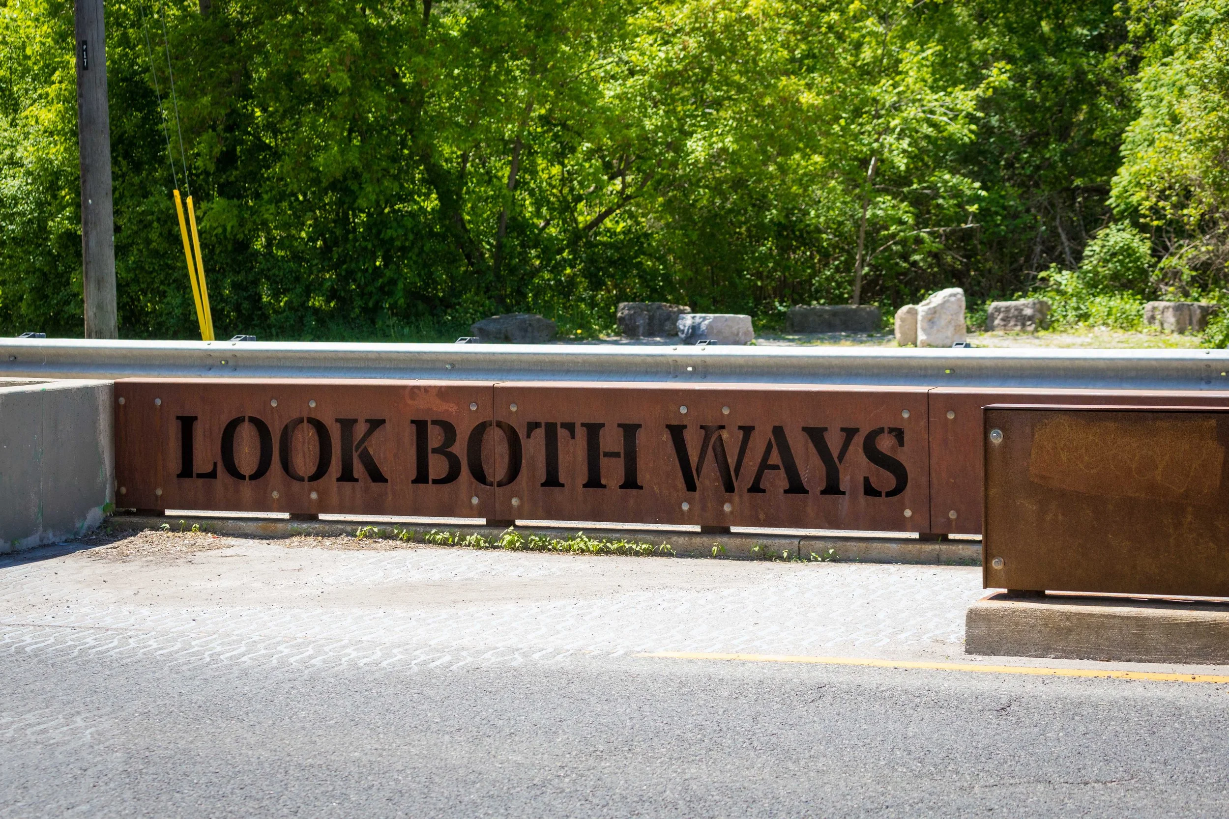
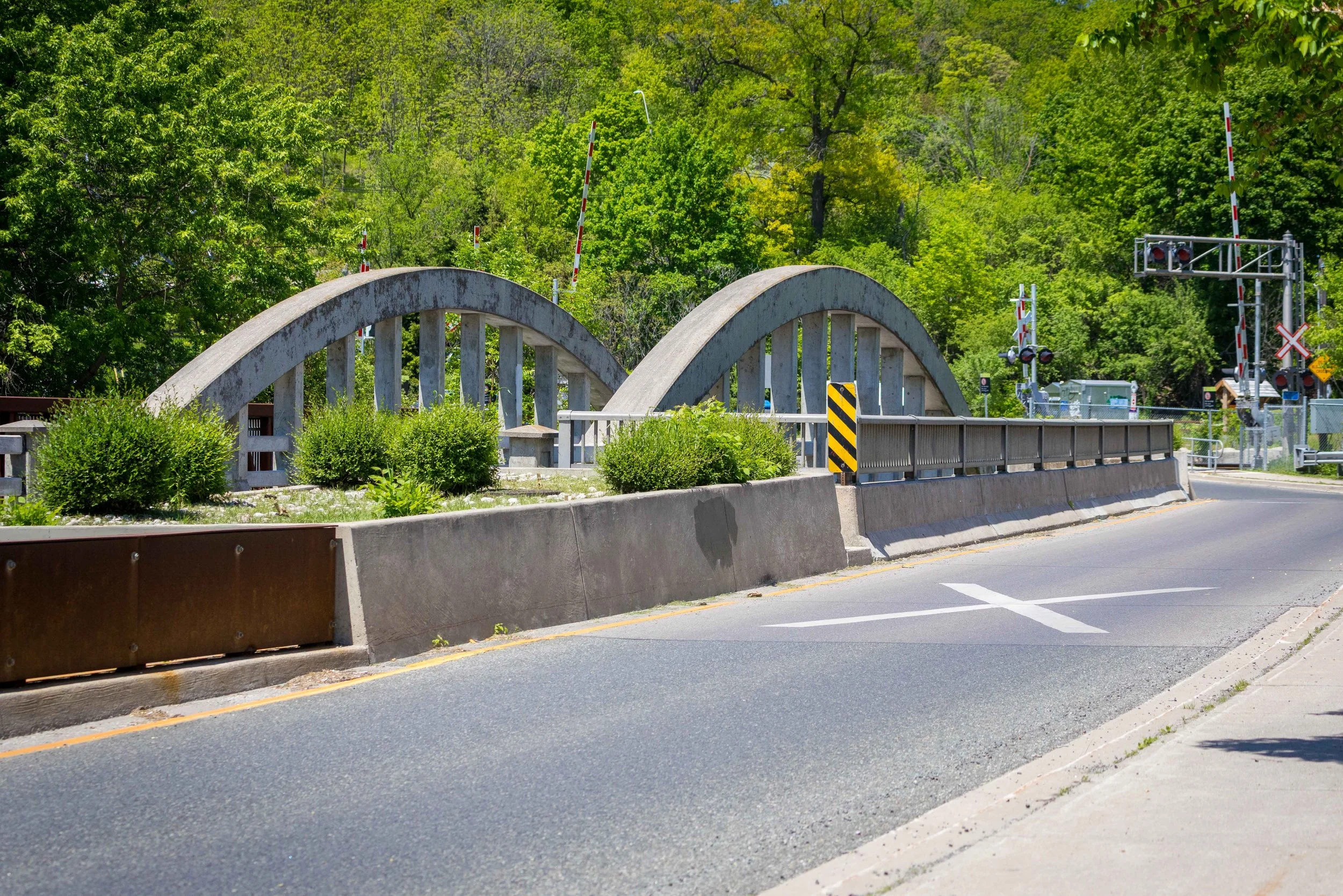
By the time I reached Pottery Road, I had travelled from a neighbourhood staircase through kilometres of connected valley lands, following Taylor Creek Trail into the Lower Don. Along the way, the route revealed wildlife, public art, traces of Toronto's industrial past, and the ever-changing character of the valley itself.
Pottery Road marked the end of this section of the walk, but not the end of the journey. From here, I continued south along Bayview Avenue toward Evergreen Brick Works, which will be the focus of my next post.
Part two is here: https://www.agreatcapture.com/blog/don-valley-brick-works-park