Late Day Walk in East York

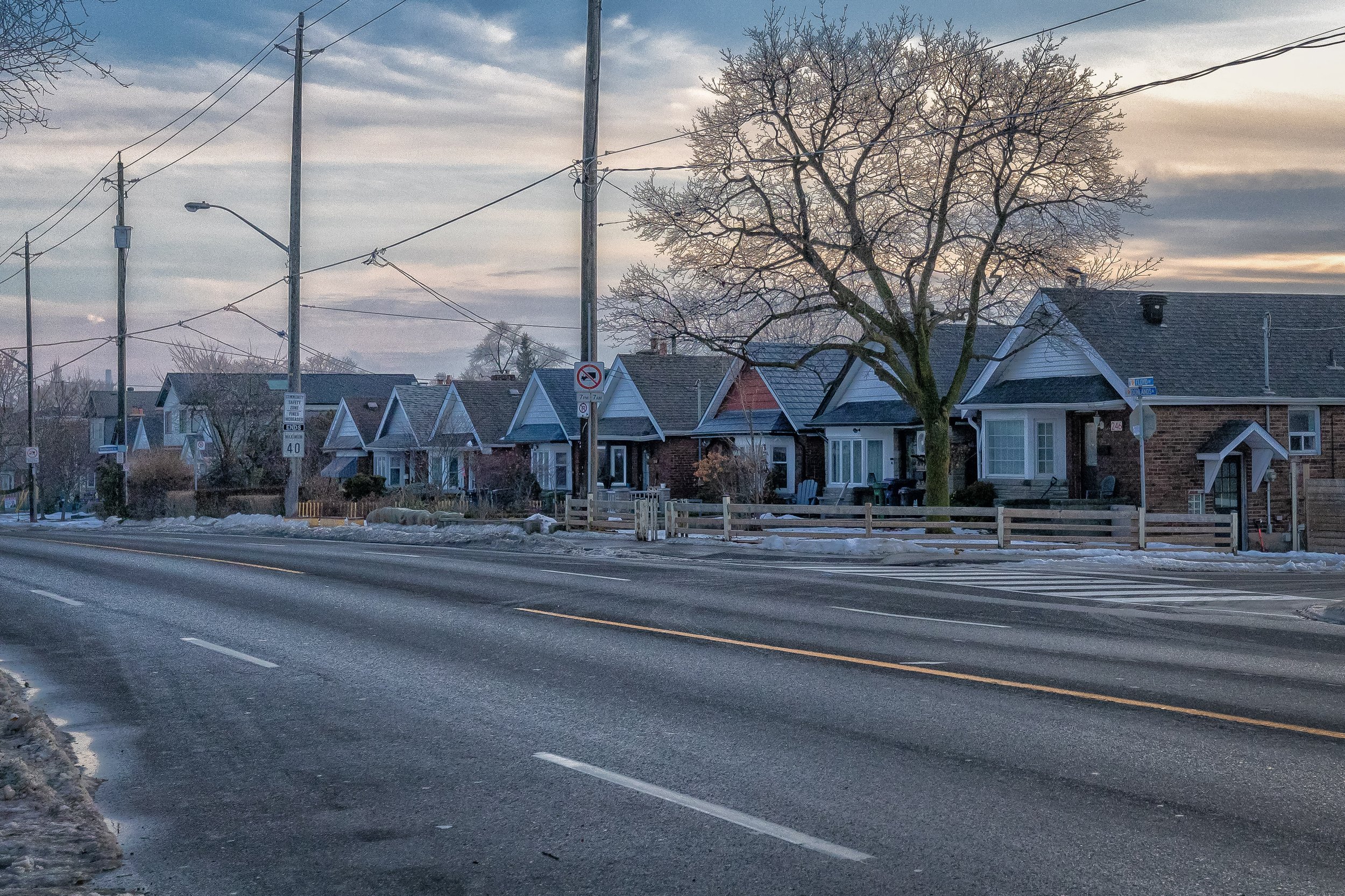
Coxwell and Mortimer
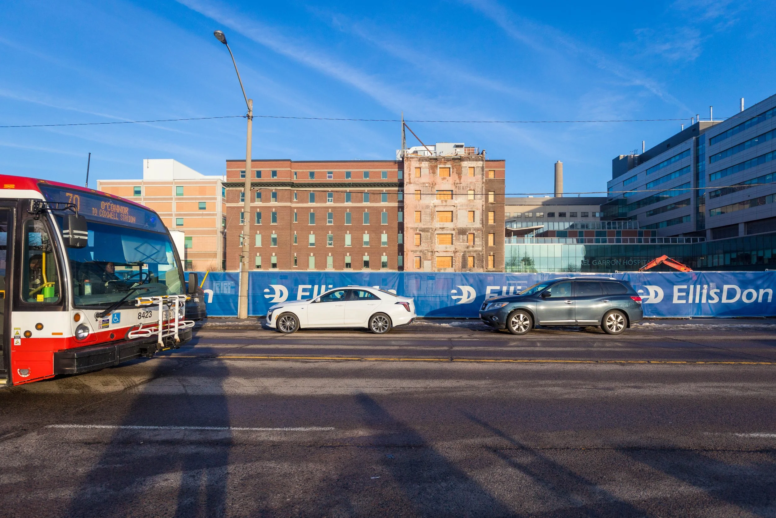
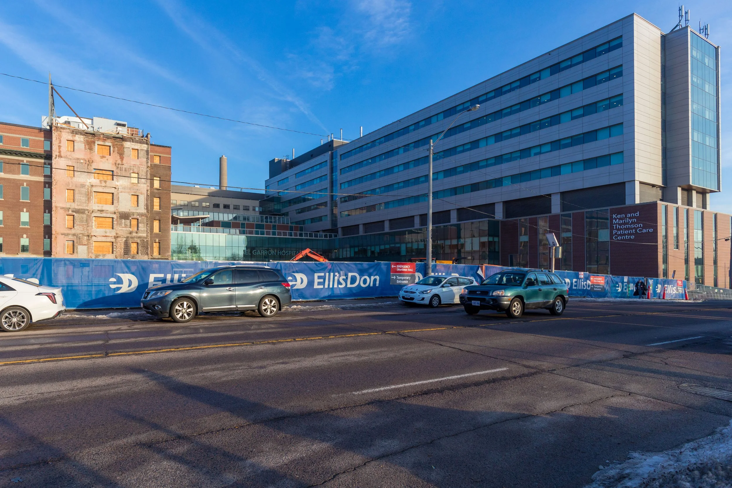
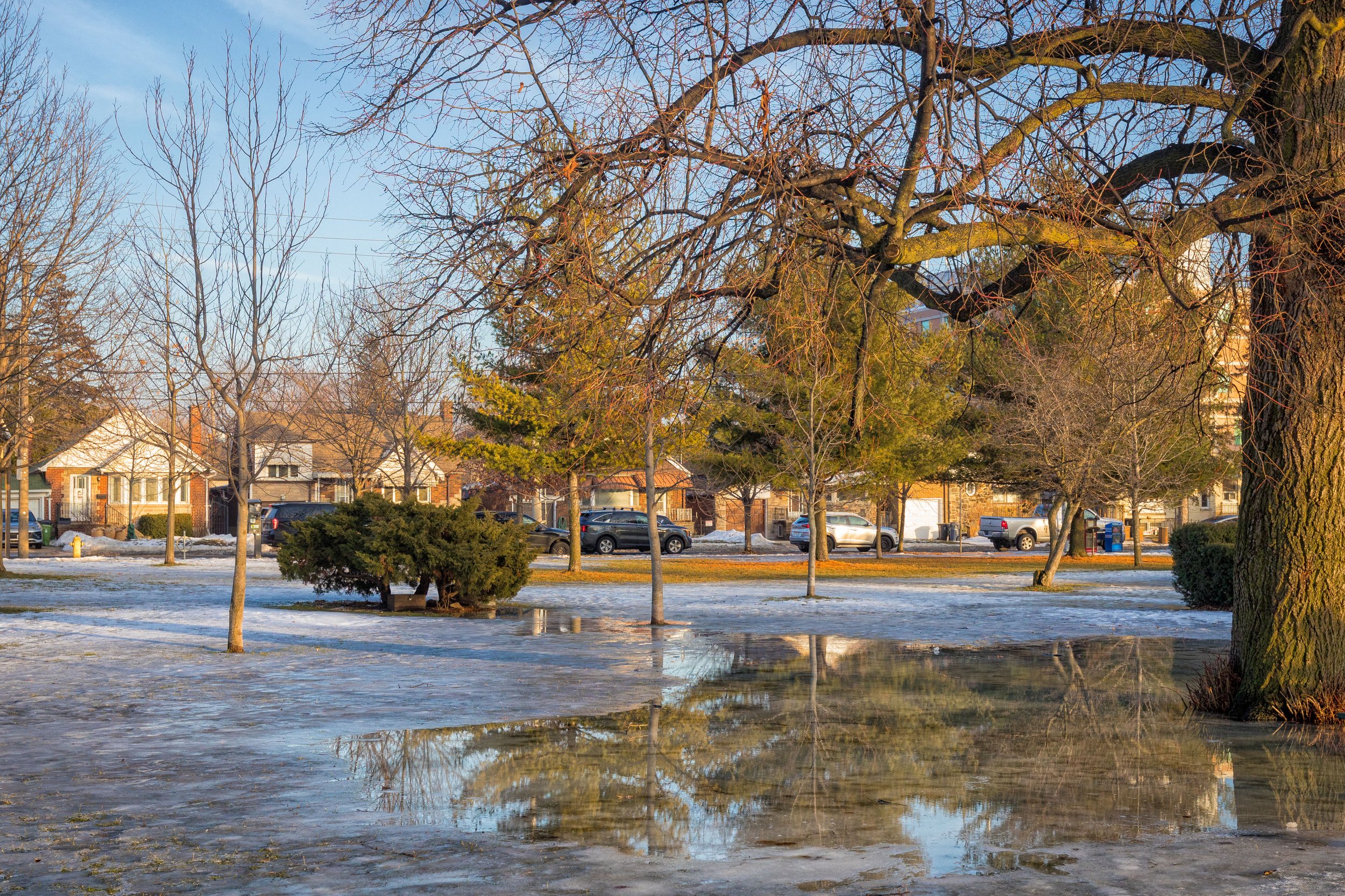
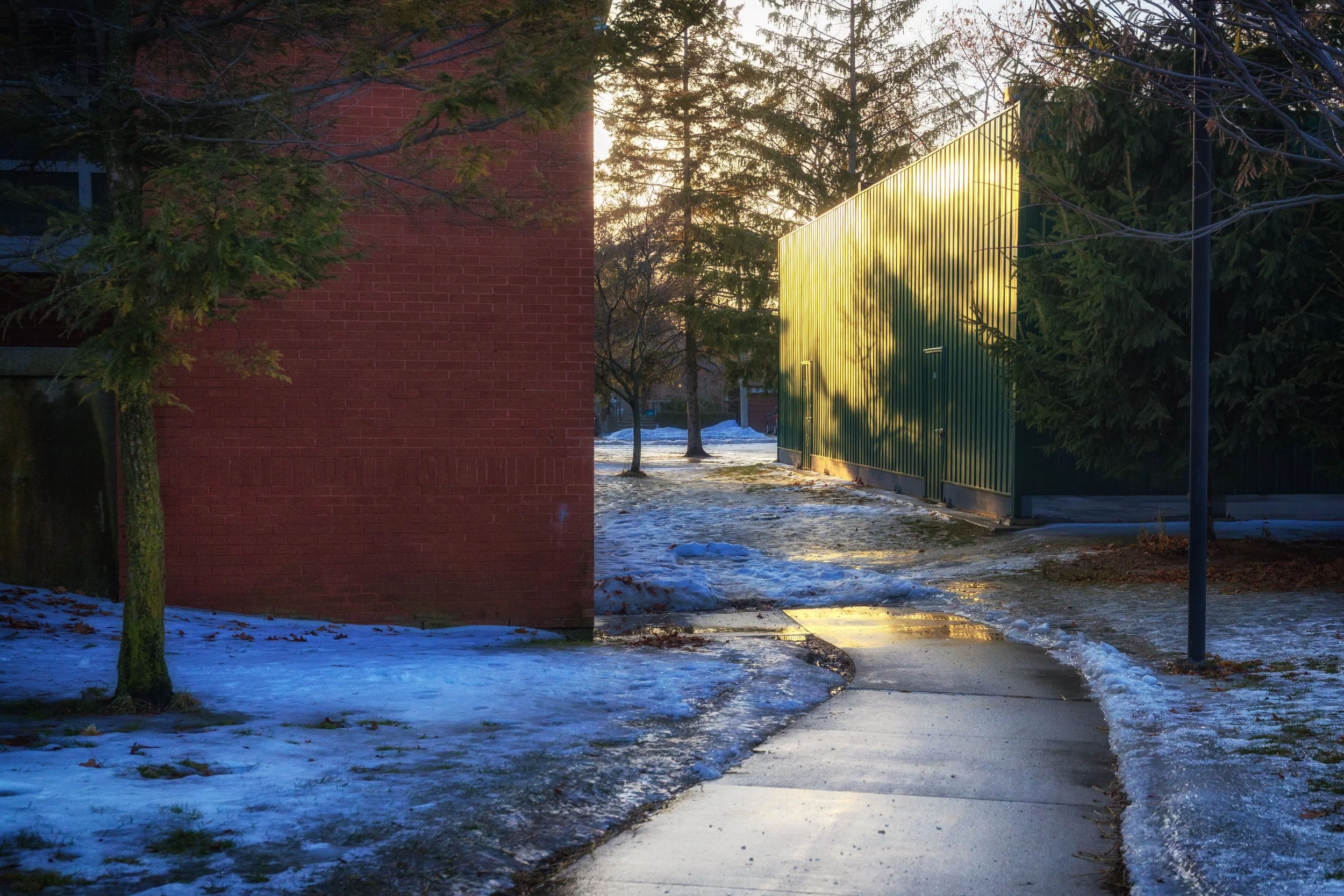
The walk begins on Coxwell Avenue, across from Michael Garron Hospital, where an older building has recently been demolished and construction is now underway. Temporary fencing lines the street as redevelopment continues, while a newer building on the south side of the avenue is already in use. TTC buses, passing traffic, and ongoing construction activity mark this stretch as an active transition zone, reflecting changes in East York’s built environment.
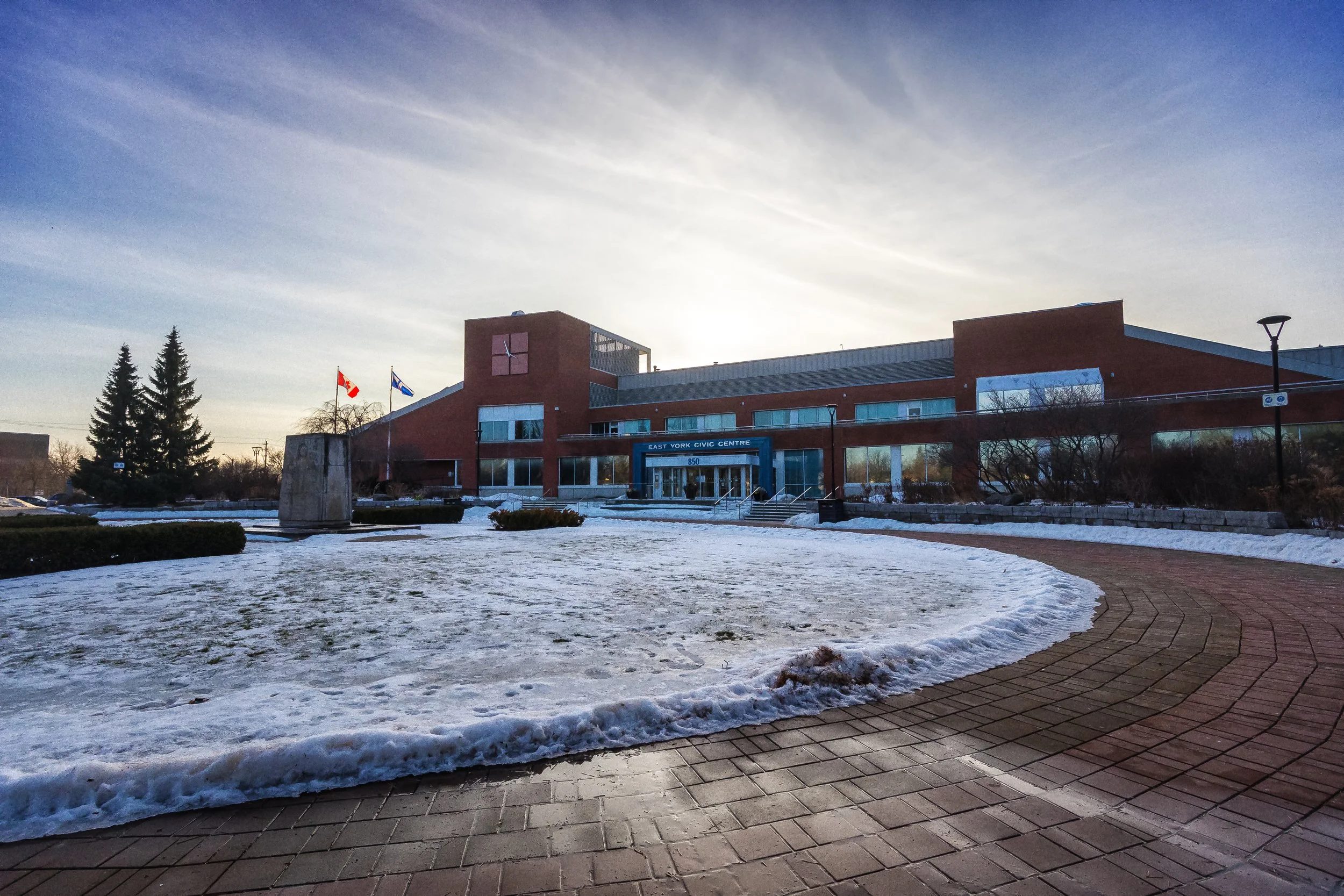
From there, the route continues toward the East York Civic Centre, moving from hospital redevelopment into neighbourhood public space. The shift from construction corridors to civic architecture highlights the contrast between East York’s evolving infrastructure and its established community landmarks.
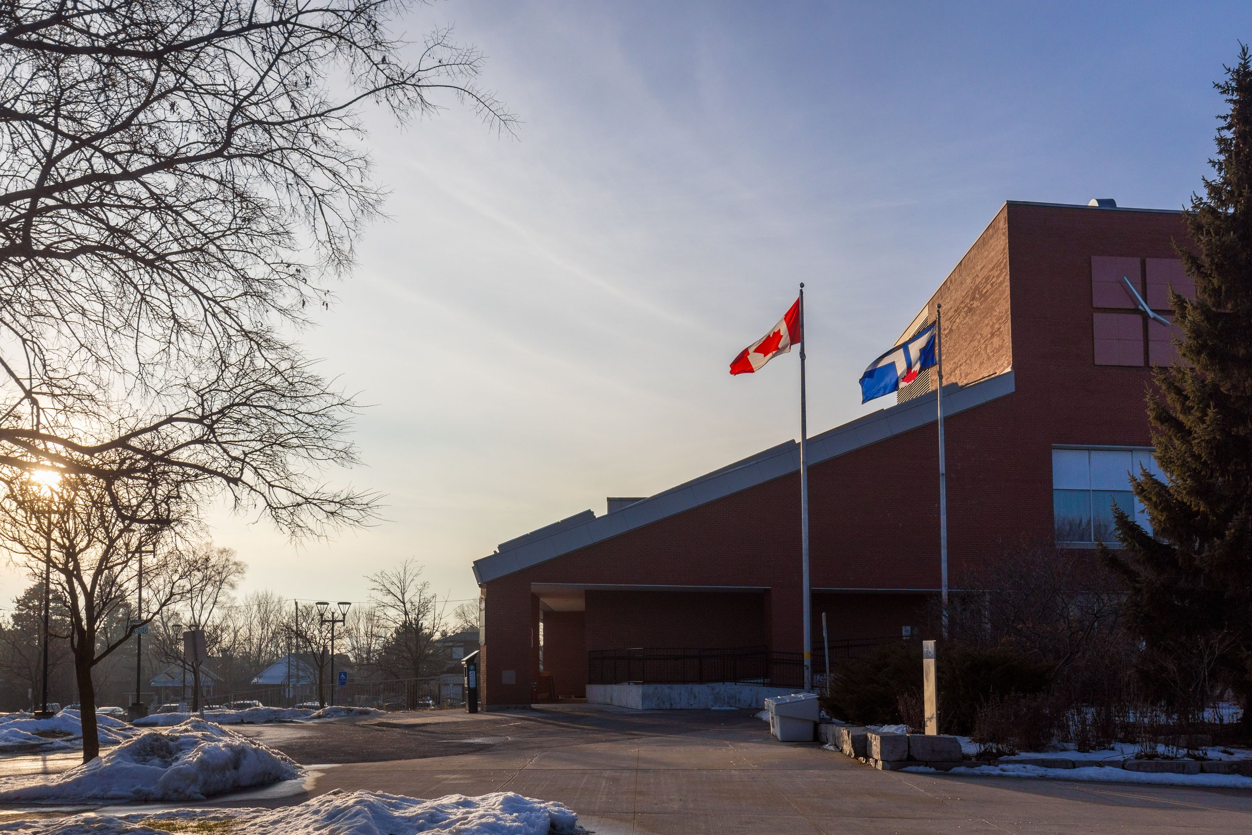
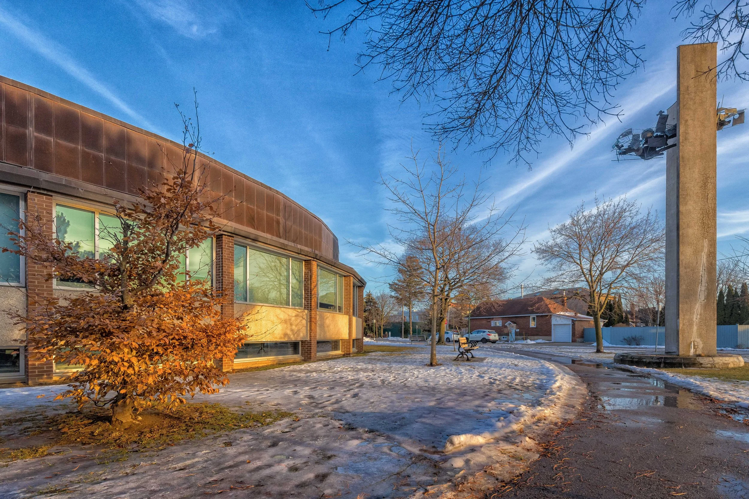
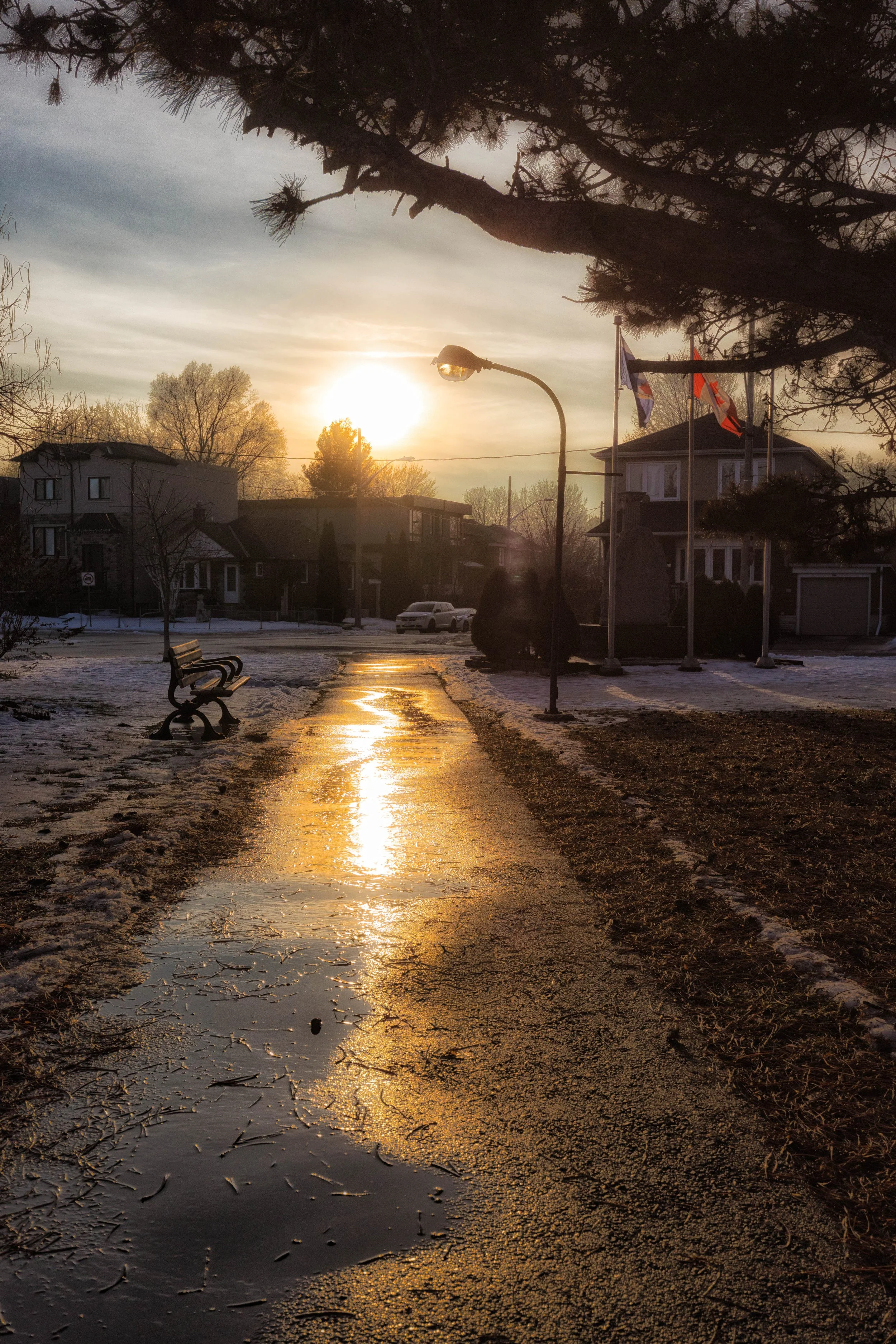
The walk continues to the East York Civic Centre, where late-modern civic architecture meets open public space. Low-rise brick buildings with wide window bands surround landscaped grounds, curved pathways, and quiet winter lawns. Canadian and City of Toronto flags mark the civic entrance, while snow patches and reflective puddles catch the afternoon light. Designed at a community scale, the Civic Centre reflects a period of municipal architecture focused on accessibility, transparency, and neighbourhood life.
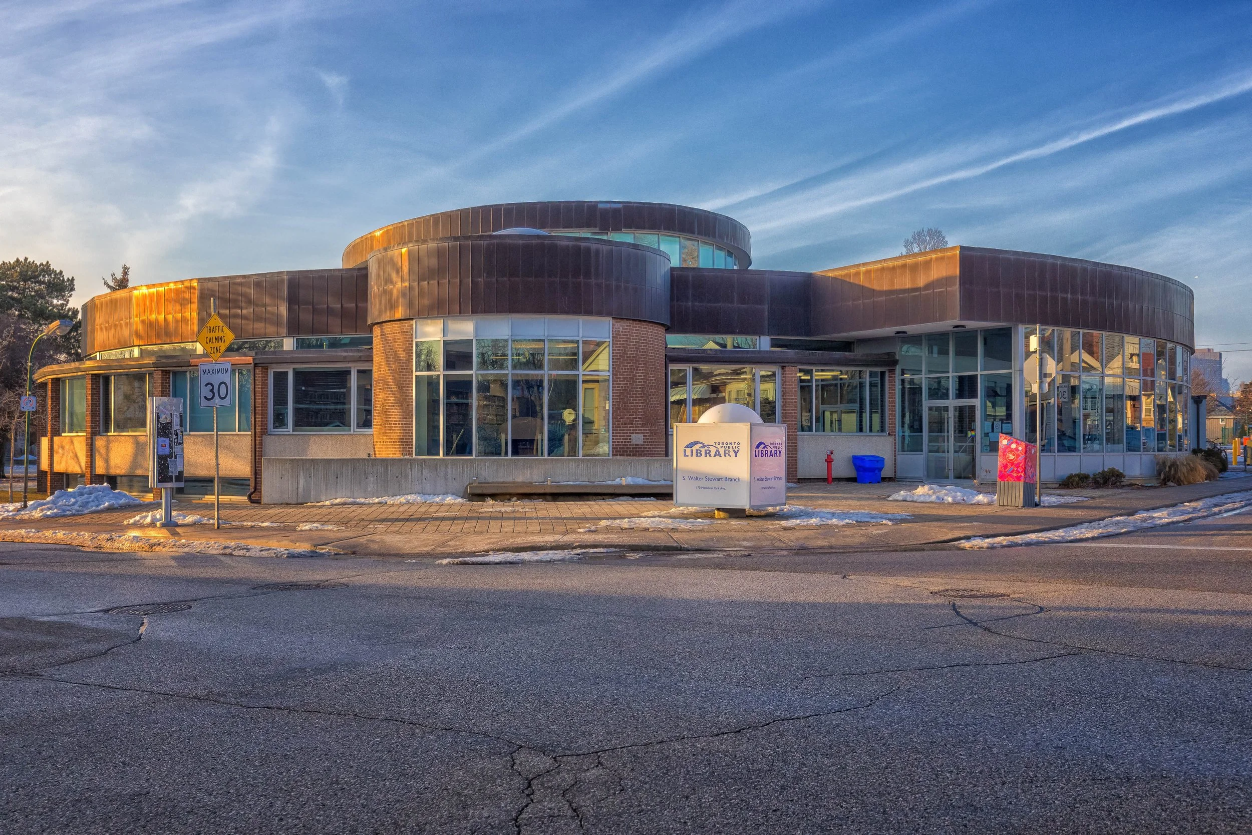
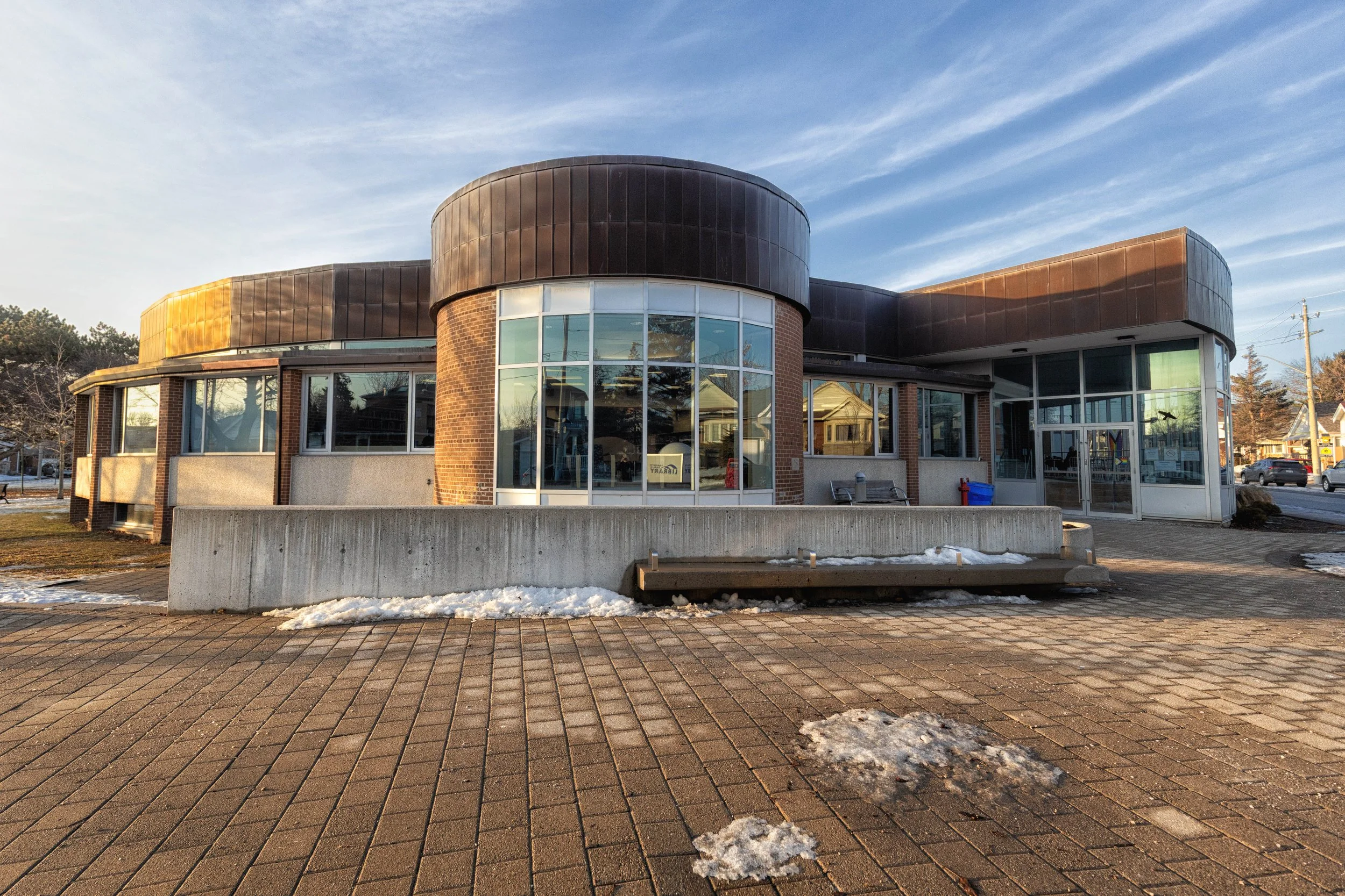
S Walter Stewart Public Library
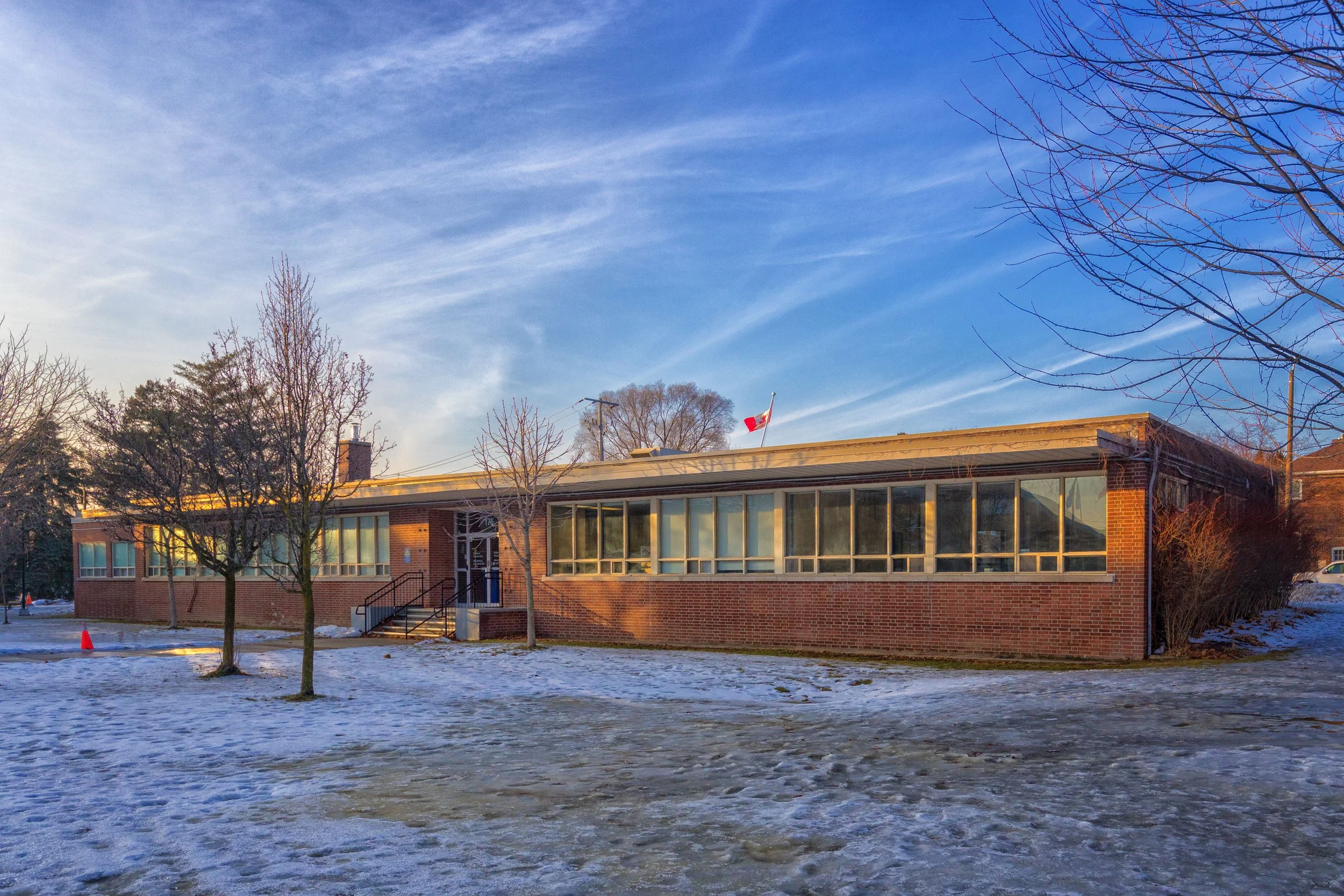
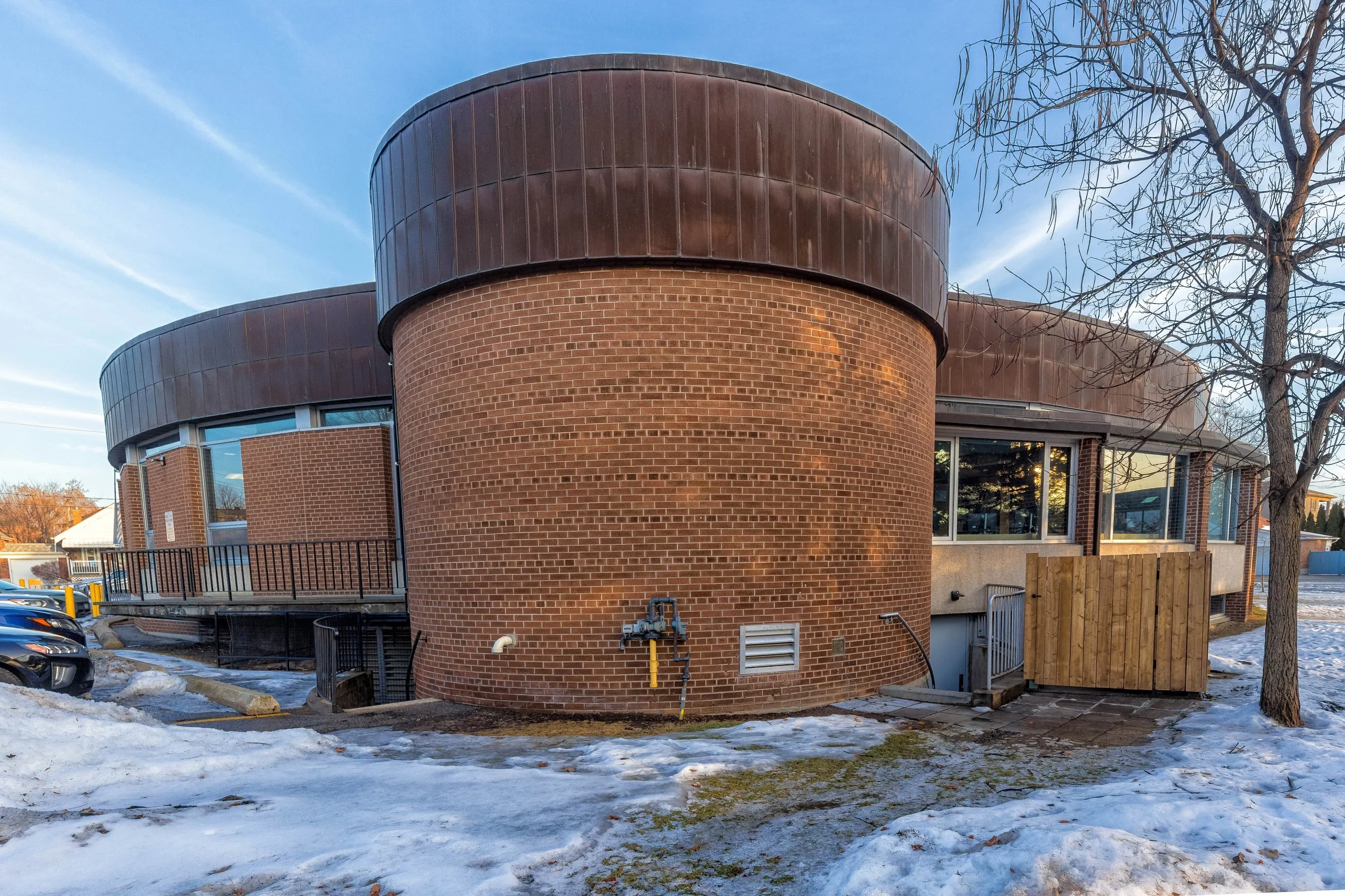
Continuing the walk from the Civic Centre grounds, the route leads to S. Walter Stewart Library, where late-modern civic architecture meets open public grounds. The library’s rounded brick forms, low-rise profile, and wide window bands reflect a mid-century–influenced approach to public design, prioritizing accessibility and community scale within a residential setting.
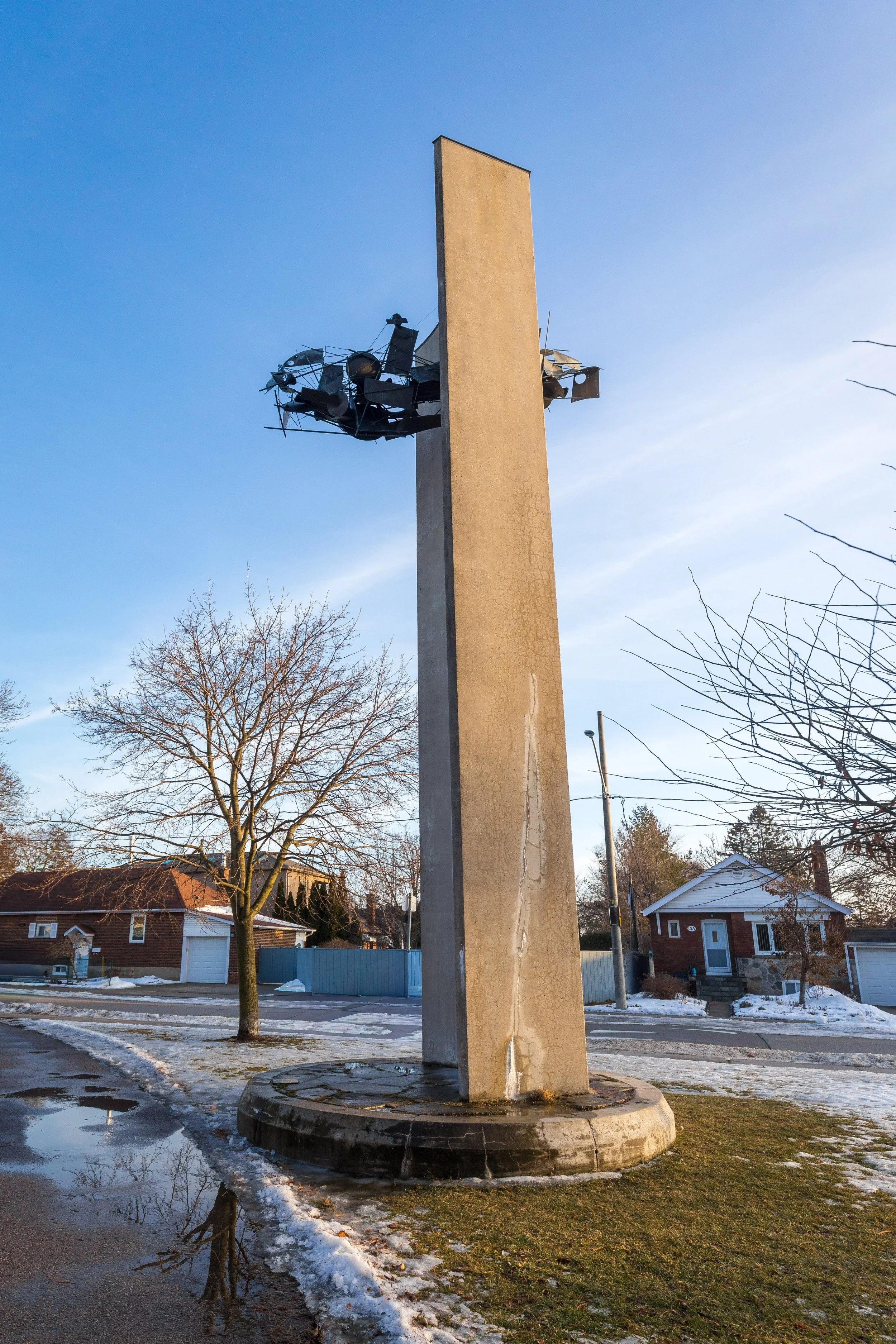
Beside the library stands The Pylon, a 1960 public art sculpture by Canadian artist Gerald Gladstone, commissioned when the library first opened. The tall concrete column rises vertically from the site, creating a striking contrast to the building’s horizontal lines. Influenced by the era’s interest in space-age design, the sculpture introduces a moment of abstraction into the practical civic landscape.
From the library, the walk continues through East York’s network of public spaces. The rounded architecture of S. Walter Stewart Public Library and Gladstone’s The Pylon serve as another civic marker along the route, leading naturally toward nearby recreational facilities, including the East York Tennis Club.
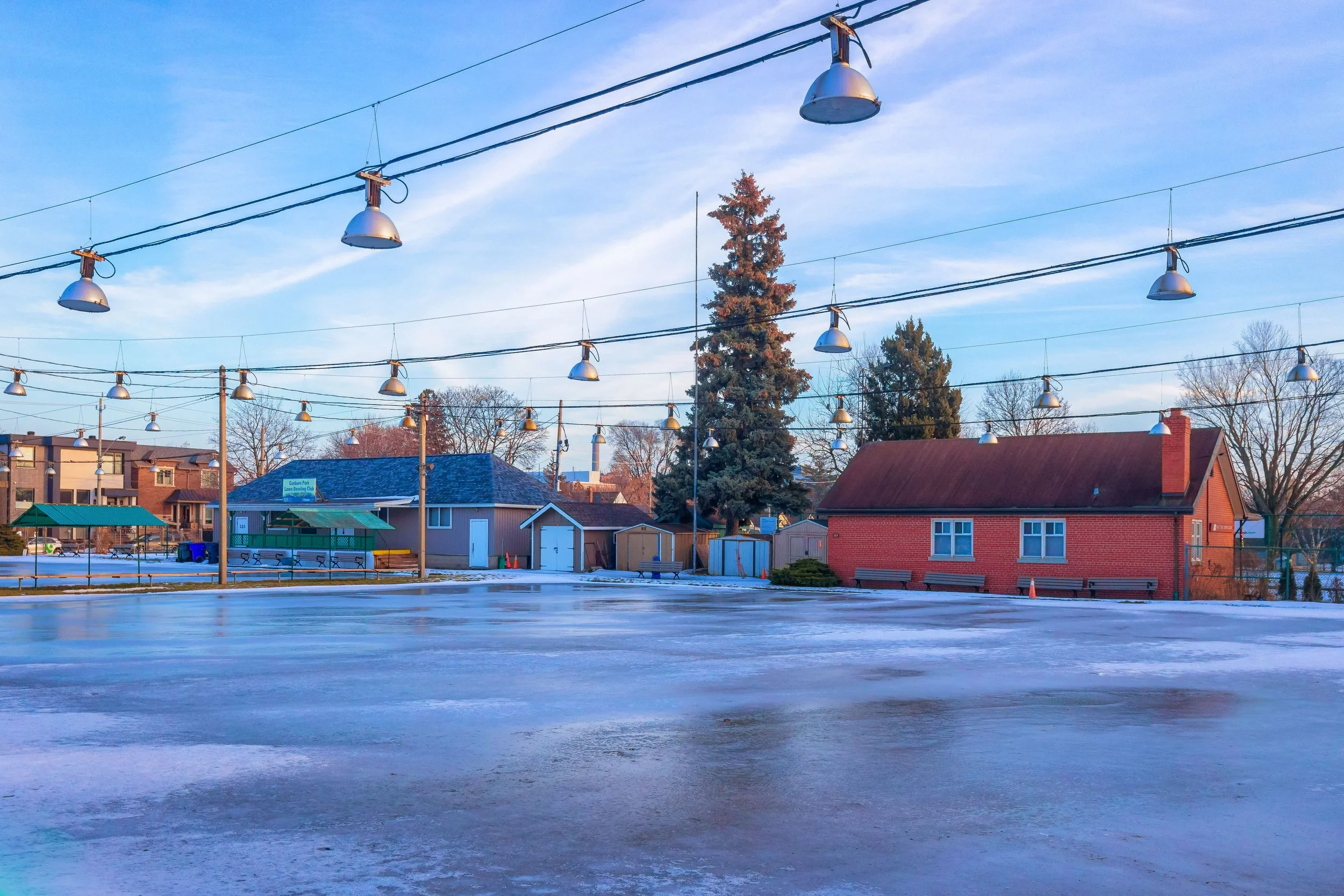
East York Tennis Club and East York Lawn Bowling Club
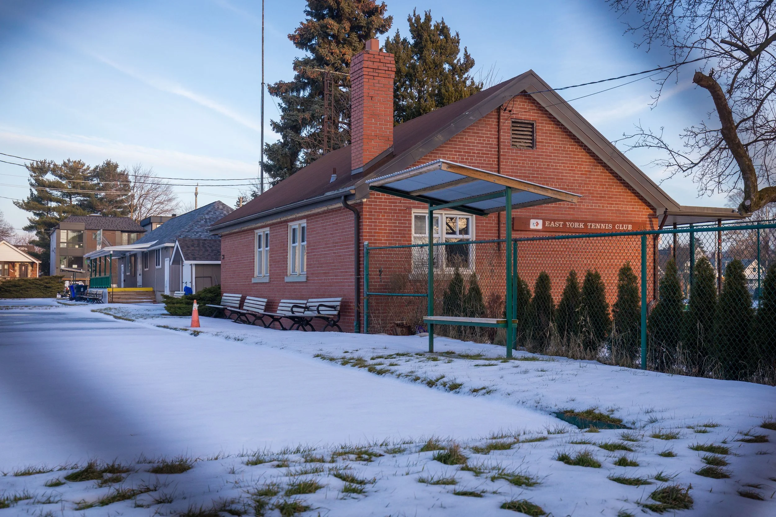
A short walk from S. Walter Stewart Public Library brings you to the East York Tennis Club and the neighbouring East York Lawn Bowling Club, two long-standing recreational spaces within the East York community. Both sit on public grounds and support seasonal outdoor activities, offering a different side of neighbourhood life from the civic buildings earlier in the walk.
The East York Tennis Club’s outdoor courts are active through the warmer months, while in January, they rest beneath a thin layer of ice and snow, with overhead lights stretching across the frozen surface. Nearby, the East York Lawn Bowling Club also shifts into its off-season, its clubhouse and greens quiet until spring.
Together, these facilities add another layer to the walkable community spaces that take on a different character in winter, marked more by stillness than activity.
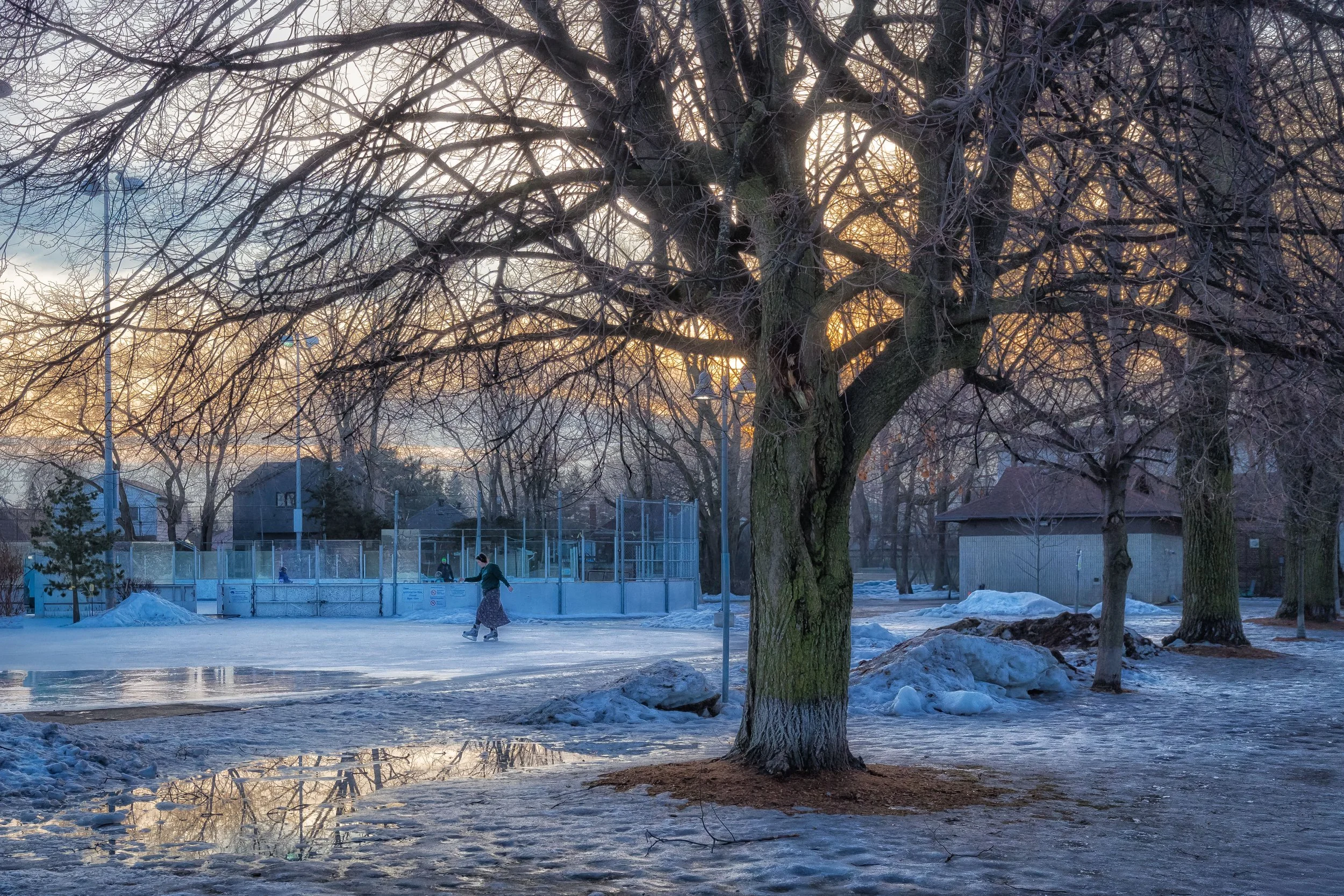
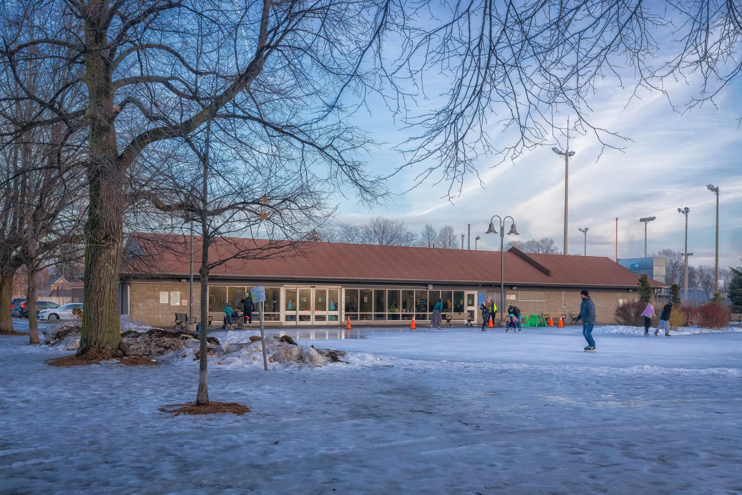
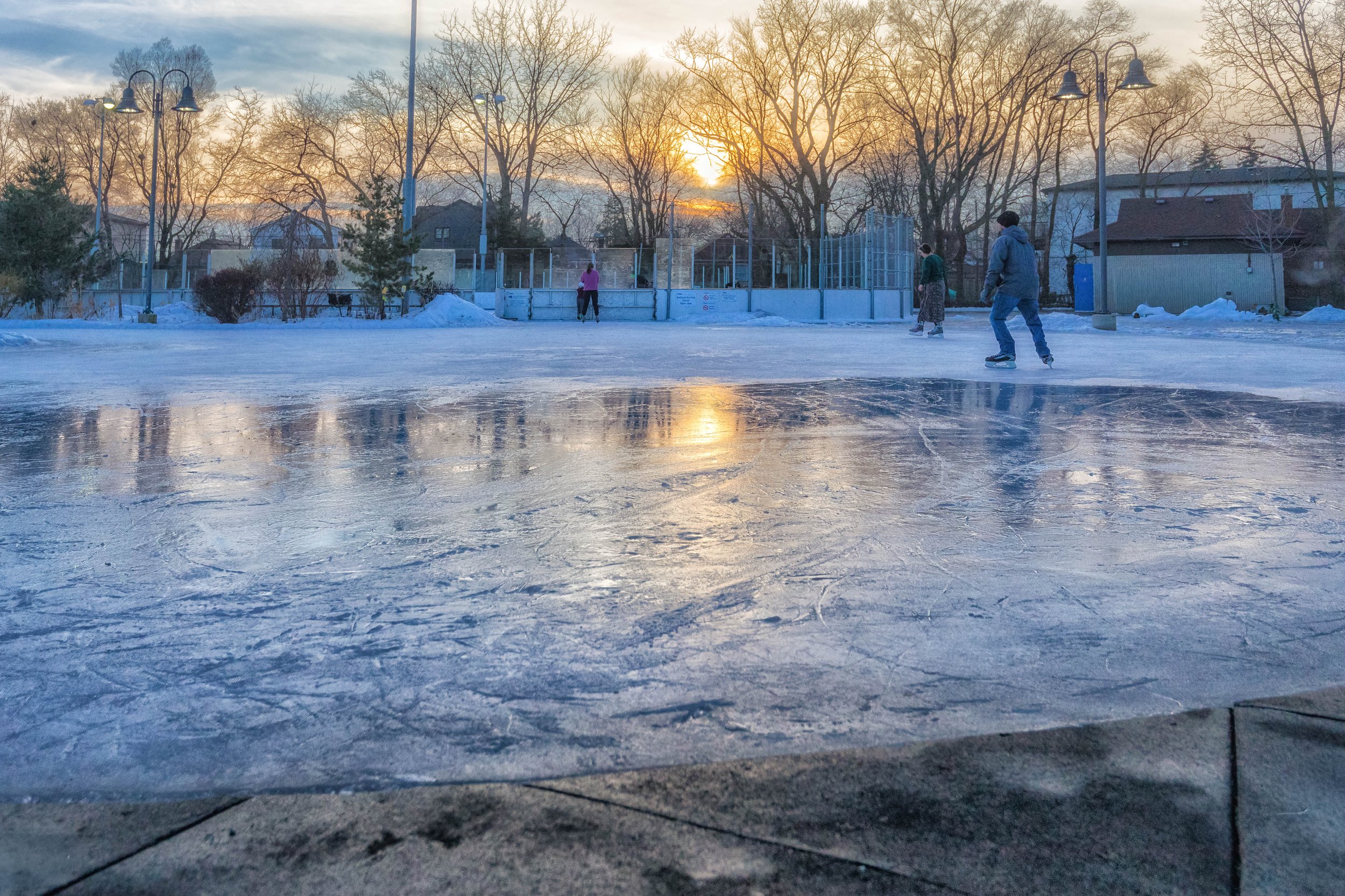
Dieppe Park Rink
Continuing on, the walk reaches Dieppe Park, where winter activity gathers around the outdoor skating areas. The park includes both a leisure skating rink and a hockey rink, drawing skaters of all ages throughout the day. Compared to the stillness of nearby courts and civic buildings, the rinks bring movement back into the walk — skates cutting across the ice, people circling the boards, and winter light reflecting off the frozen surface.
Dieppe Park was named in 1943 in honour of the Dieppe Raid of 1942, a Second World War operation in which many Canadian soldiers lost their lives. Over time, the park has remained a neighbourhood gathering place, with outdoor rinks, sports fields, and seasonal facilities supporting local recreation. Today, it continues to serve as a familiar winter destination in East York, where skating and everyday park life go on alongside its quieter historical significance.
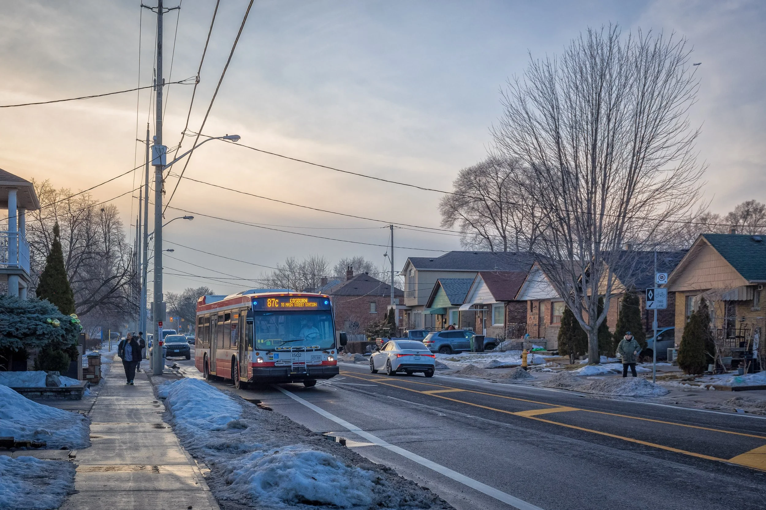
Walking Along Cosburn Avenue
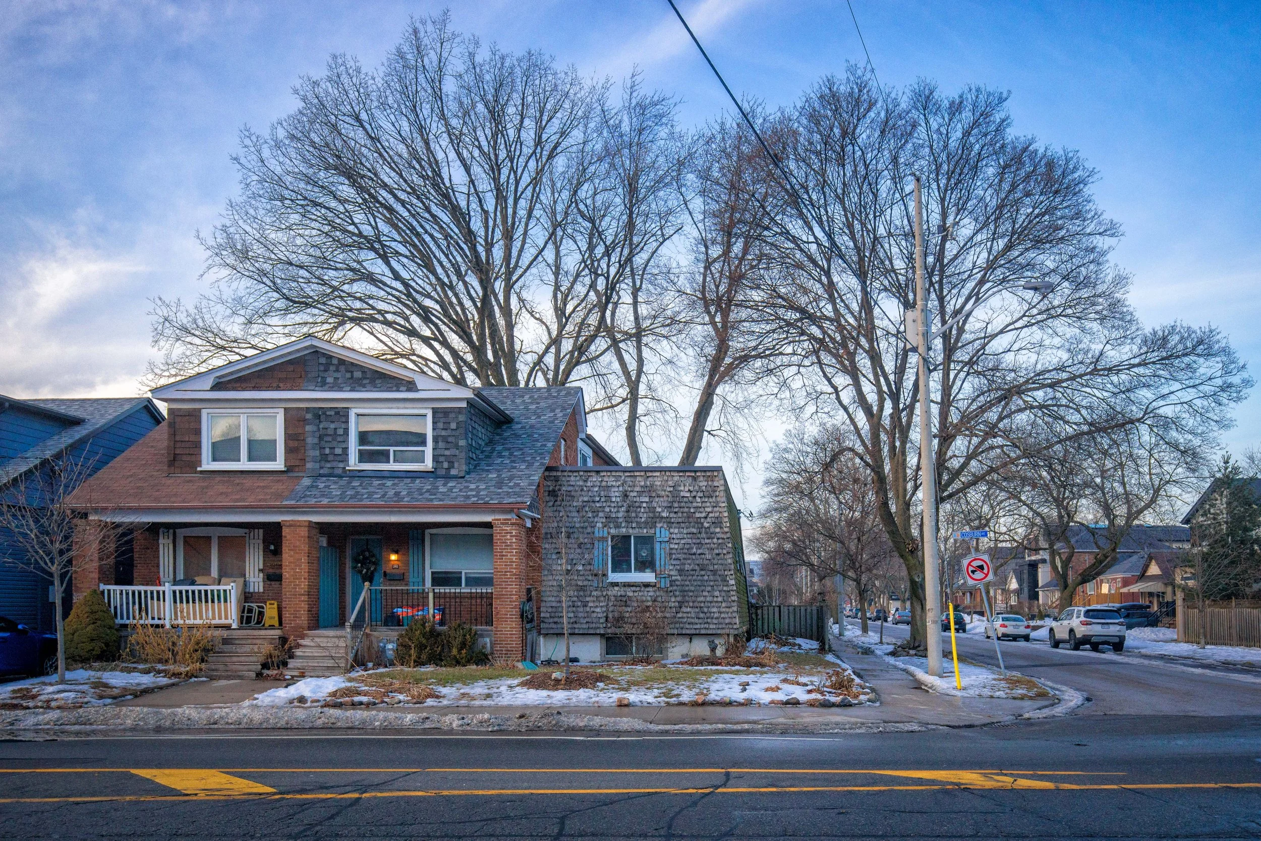
From Dieppe Park, the walk continues east along Cosburn Avenue, a residential stretch shaped by small brick houses, low-rise apartments, and steady neighbourhood traffic. TTC buses move through the corridor while front yards, mature trees, and corner sidewalks frame everyday street life. Compared to the activity at the rinks, Cosburn feels quieter and more lived-in — a practical residential route that connects East York’s parks, civic spaces, and local homes.
The mix of detached houses and modest mid-century brick buildings reflects East York’s gradual growth, where main roads like Cosburn serve both as transit corridors and neighbourhood streets.
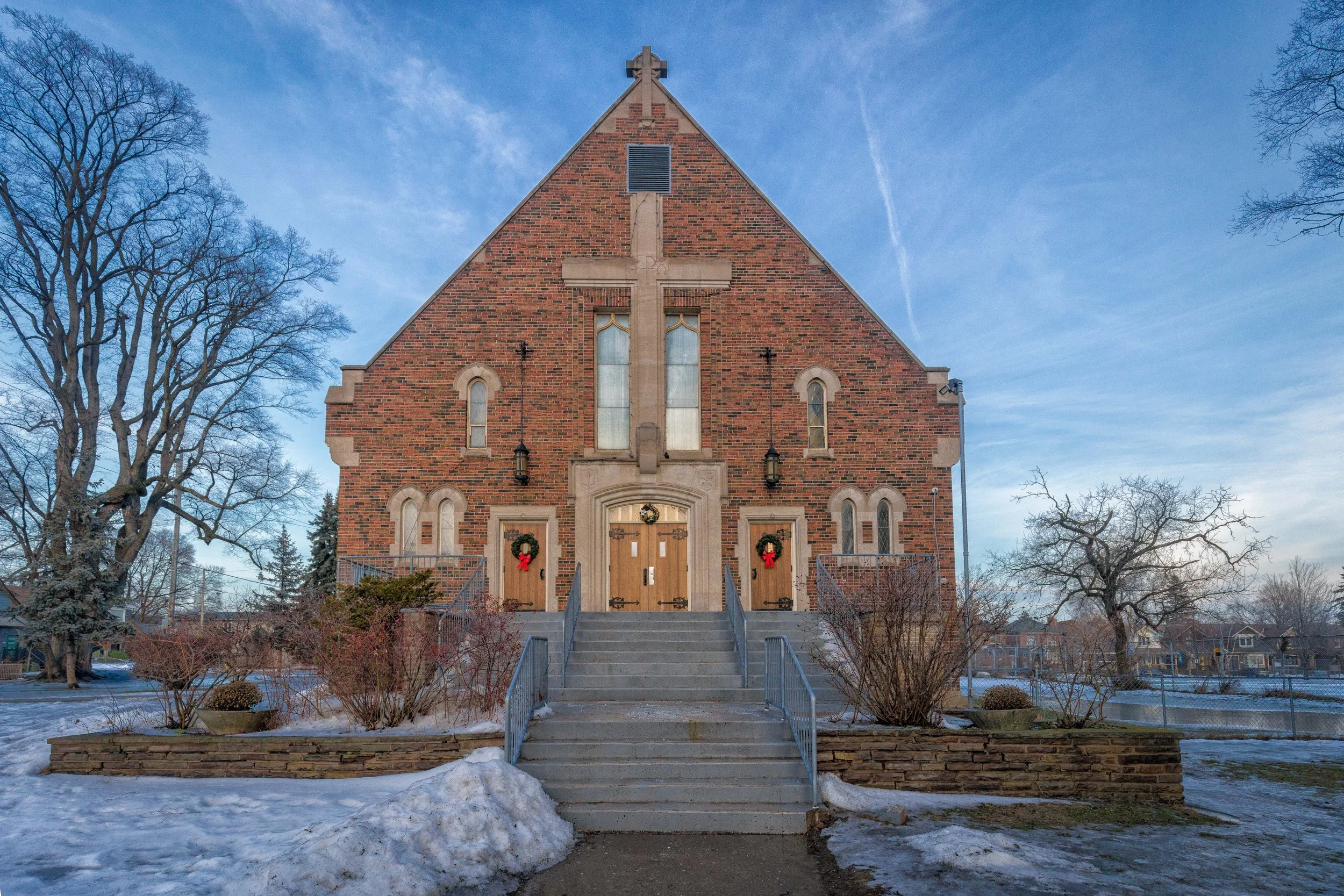
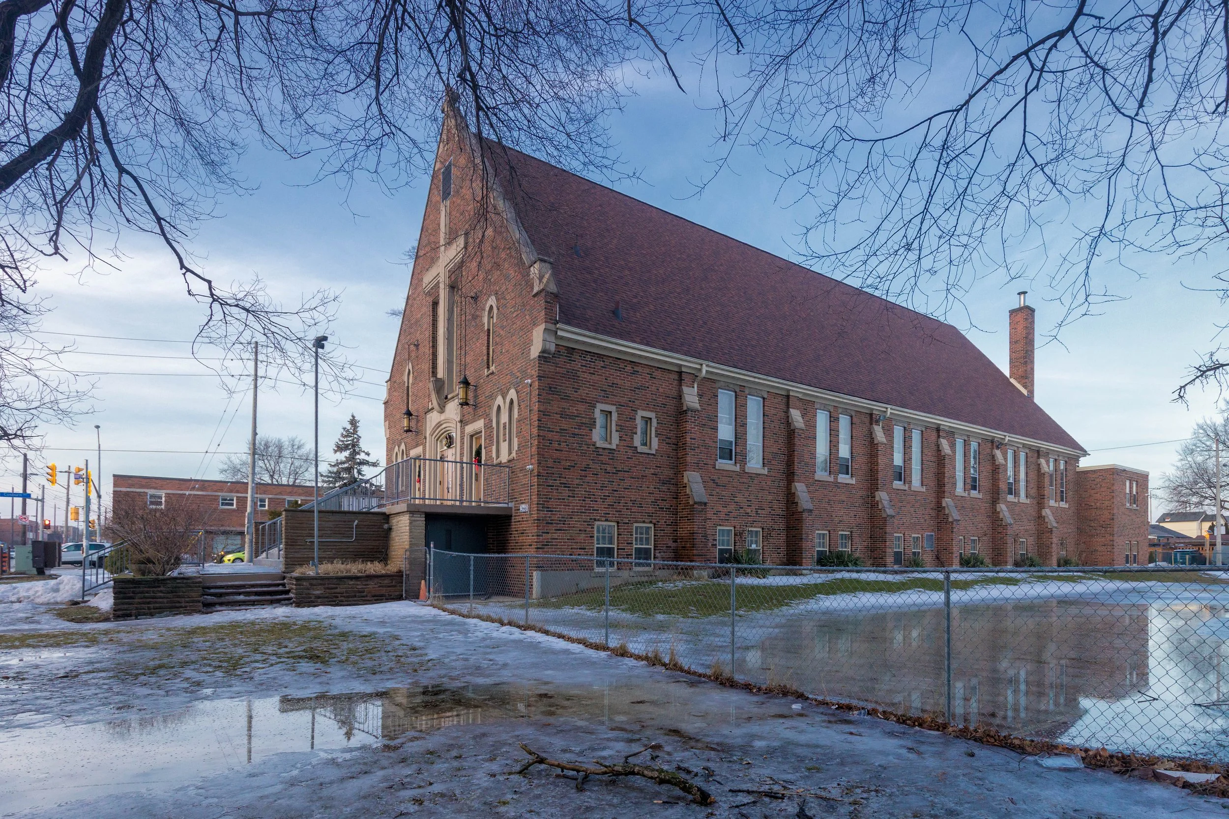
Holy Cross Parish on Donlands Avenue
From Cosburn Avenue, the walk continues south toward Donlands, where Holy Cross Parish comes into view. Set back slightly from the street, the brick church stands as a long-established neighbourhood landmark. Its front façade is marked by a prominent cross above the entrance and simple arched detailing, while the side elevation reveals the building’s modest scale and traditional gabled form.
Built in a straightforward brick church style, Holy Cross Parish reflects mid-century parish architecture designed to serve growing residential communities across Toronto. Compared to the civic buildings and recreational spaces earlier in the route, the church introduces a quieter institutional presence along Donlands Avenue, adding another layer to East York’s network of community spaces before the walk continues onward through nearby residential streets.
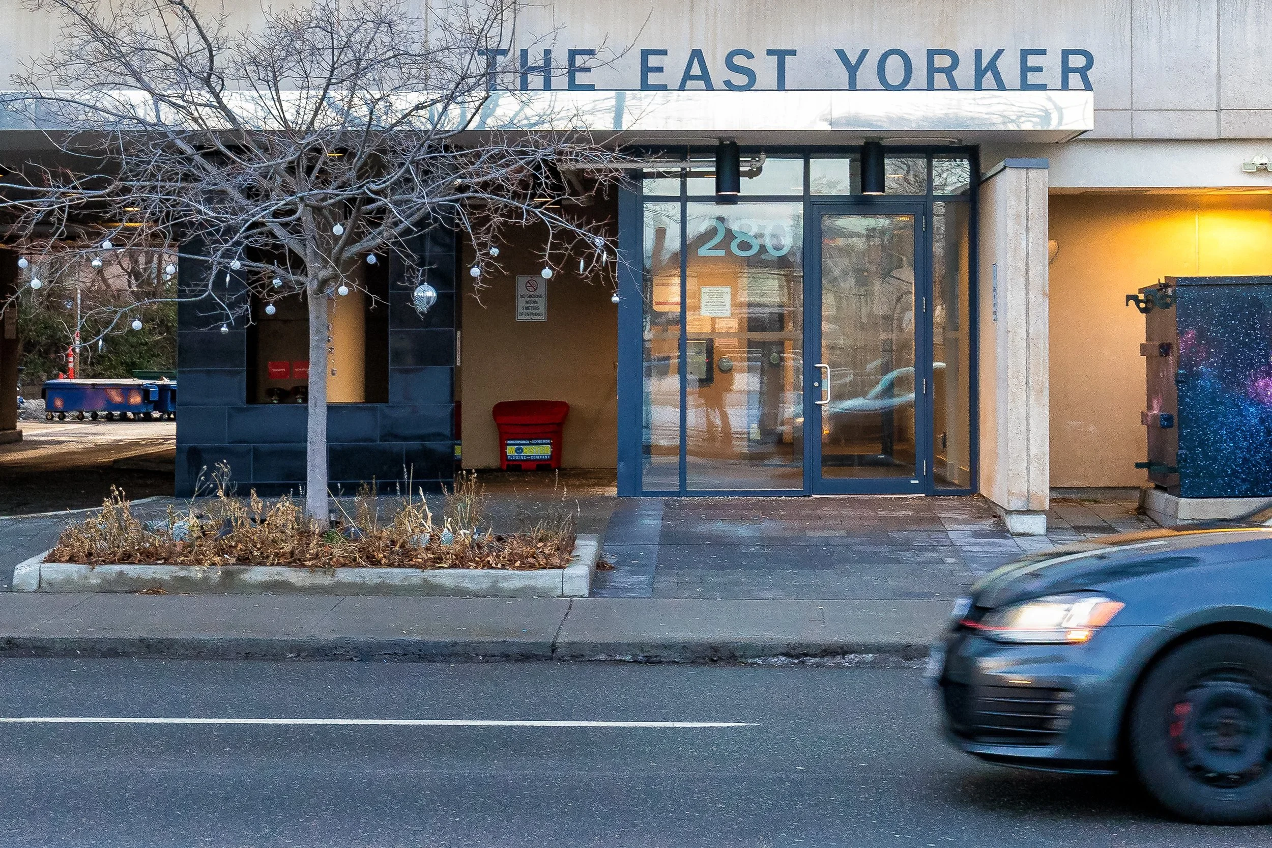
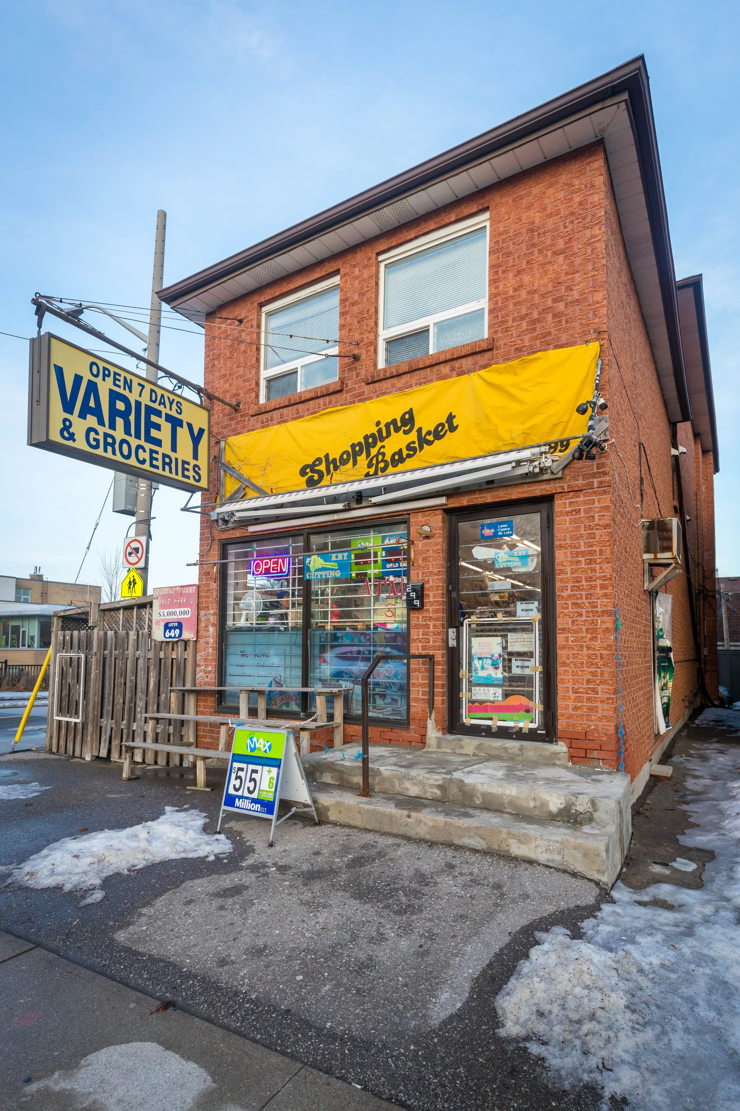
Walking Down Donlands Avenue
From Holy Cross Parish, I continued down Donlands Avenue, passing a corner grocery and rows of detached homes. This part of the walk feels more residential, with local shops, transit, and everyday neighbourhood activity shaping the street.
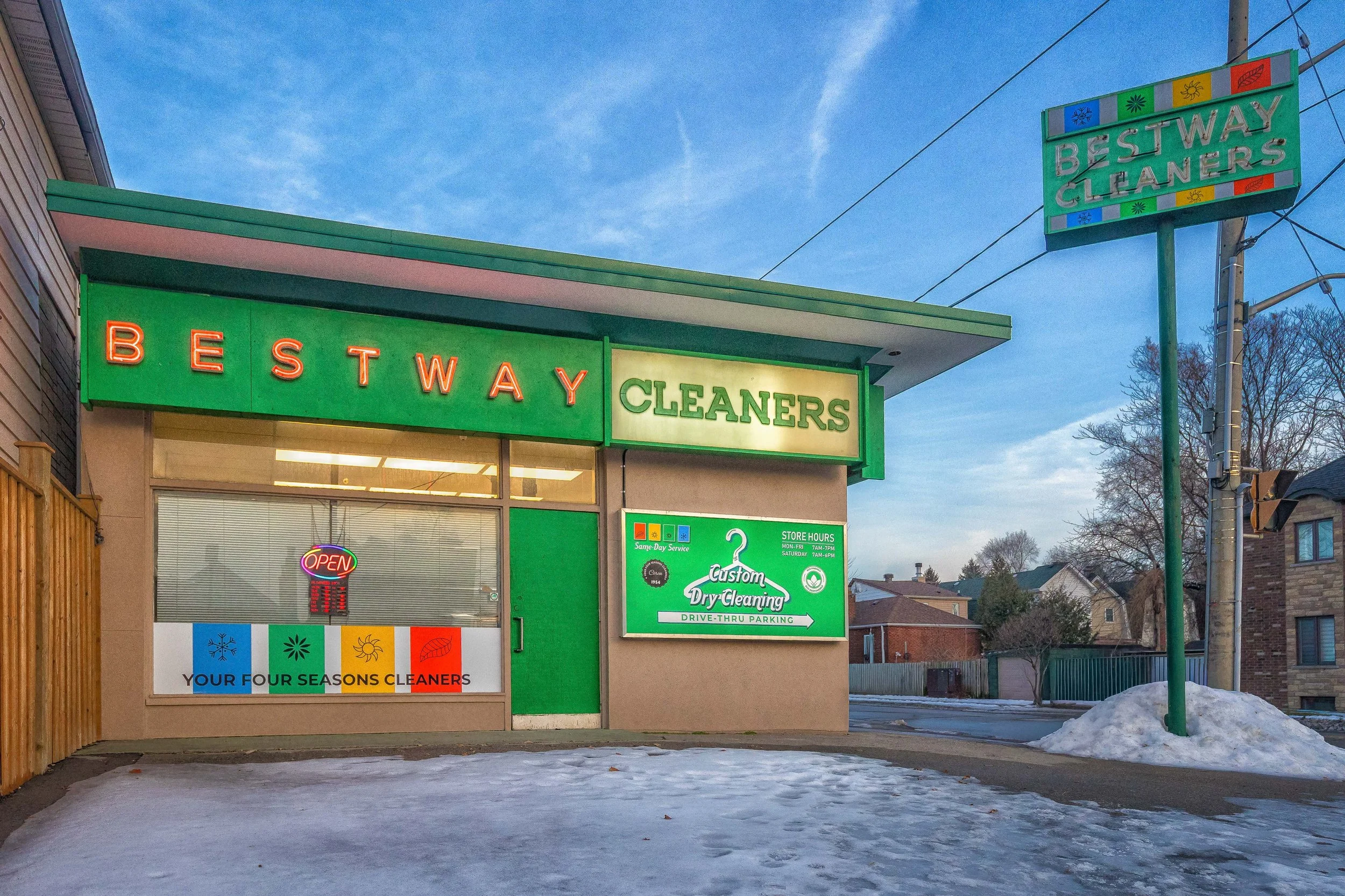
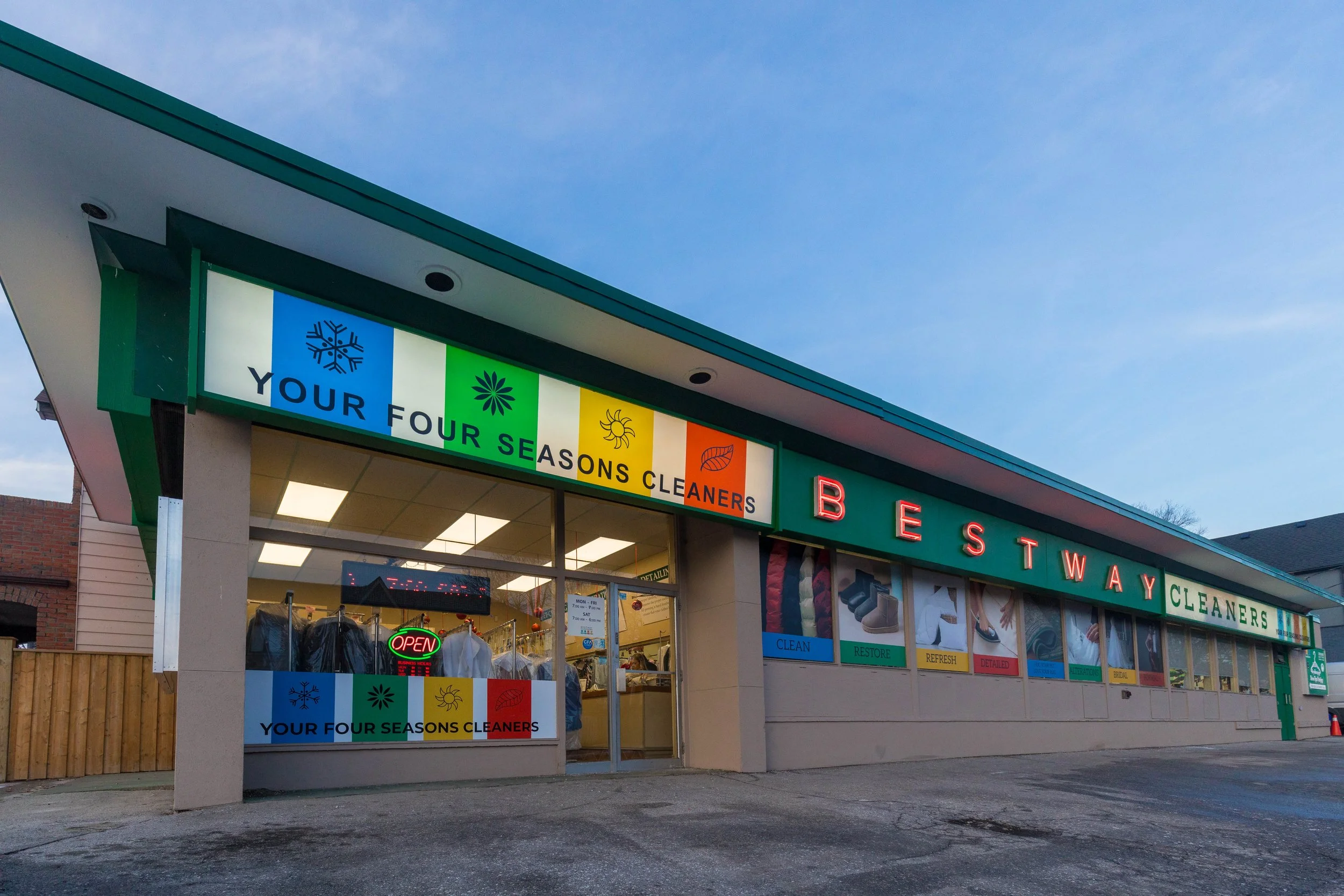
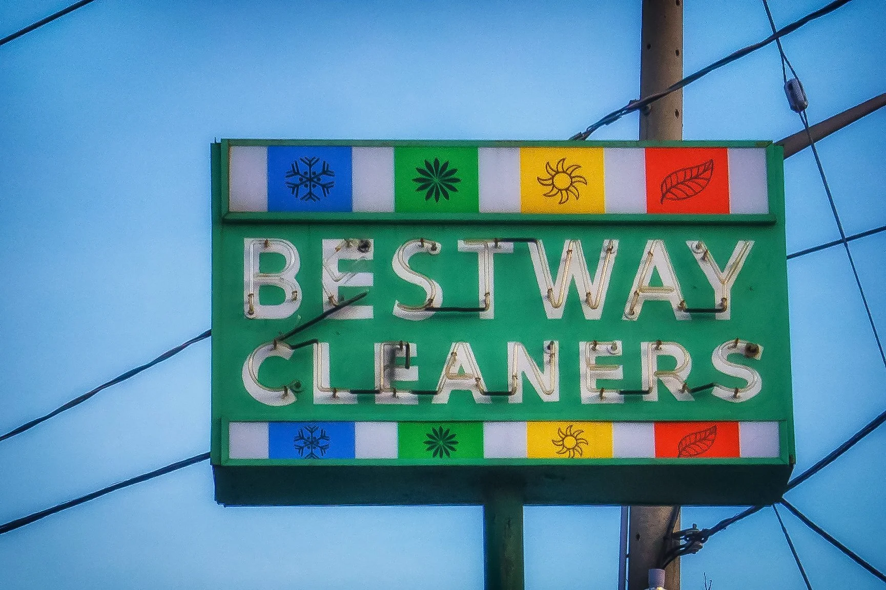
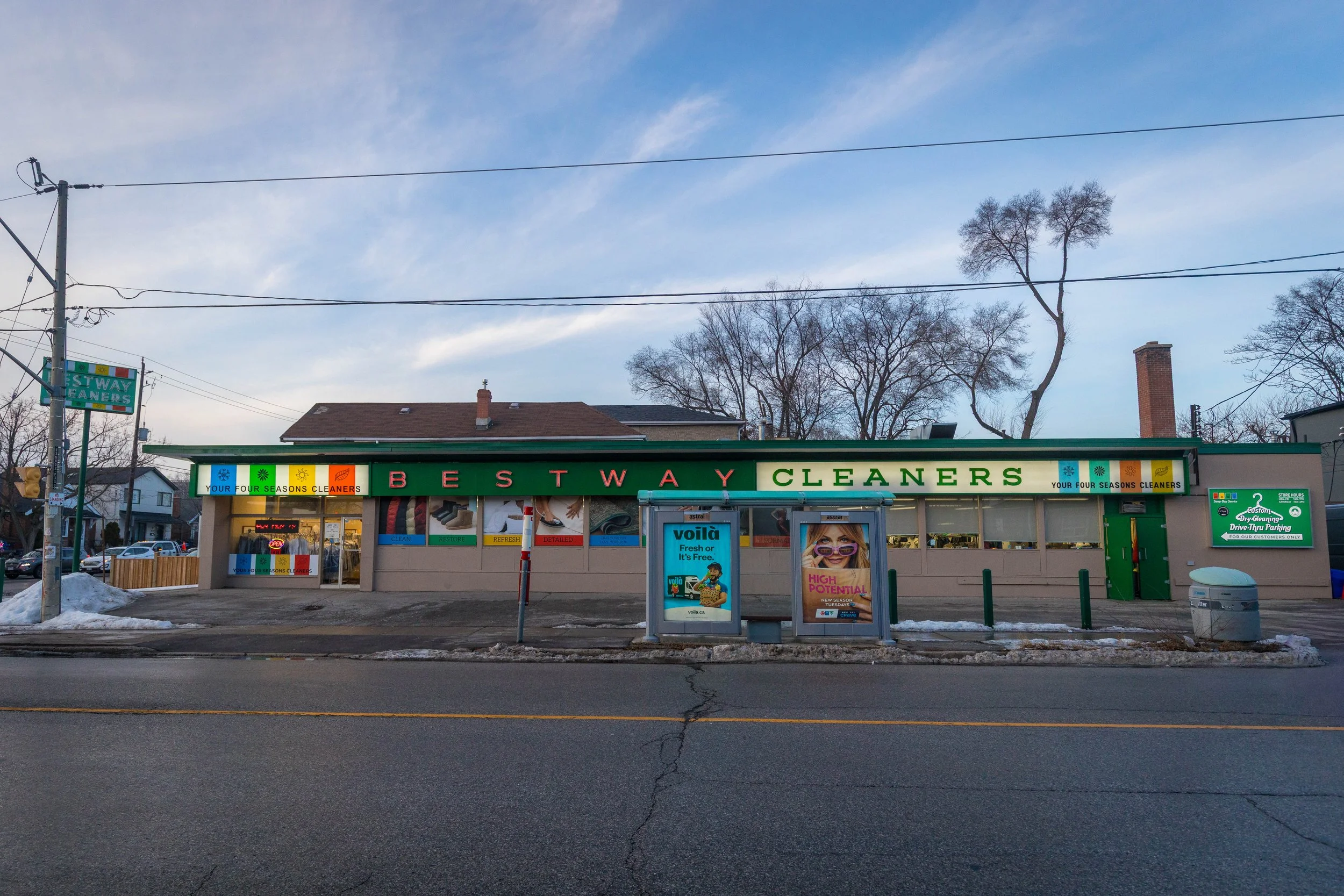
Bestway Cleaners
Heading south on Donlands Avenue, the walk reaches Mortimer Avenue. At the corner, Bestway Cleaners and the small strip plaza mark another everyday stop along the route. The bright storefront signage stands out against the winter streetscape, adding a familiar commercial note to this residential stretch.
Bestway Cleaners has long served the East York community as a neighbourhood dry-cleaning business, its corner location and recognizable signage making it a familiar local landmark.
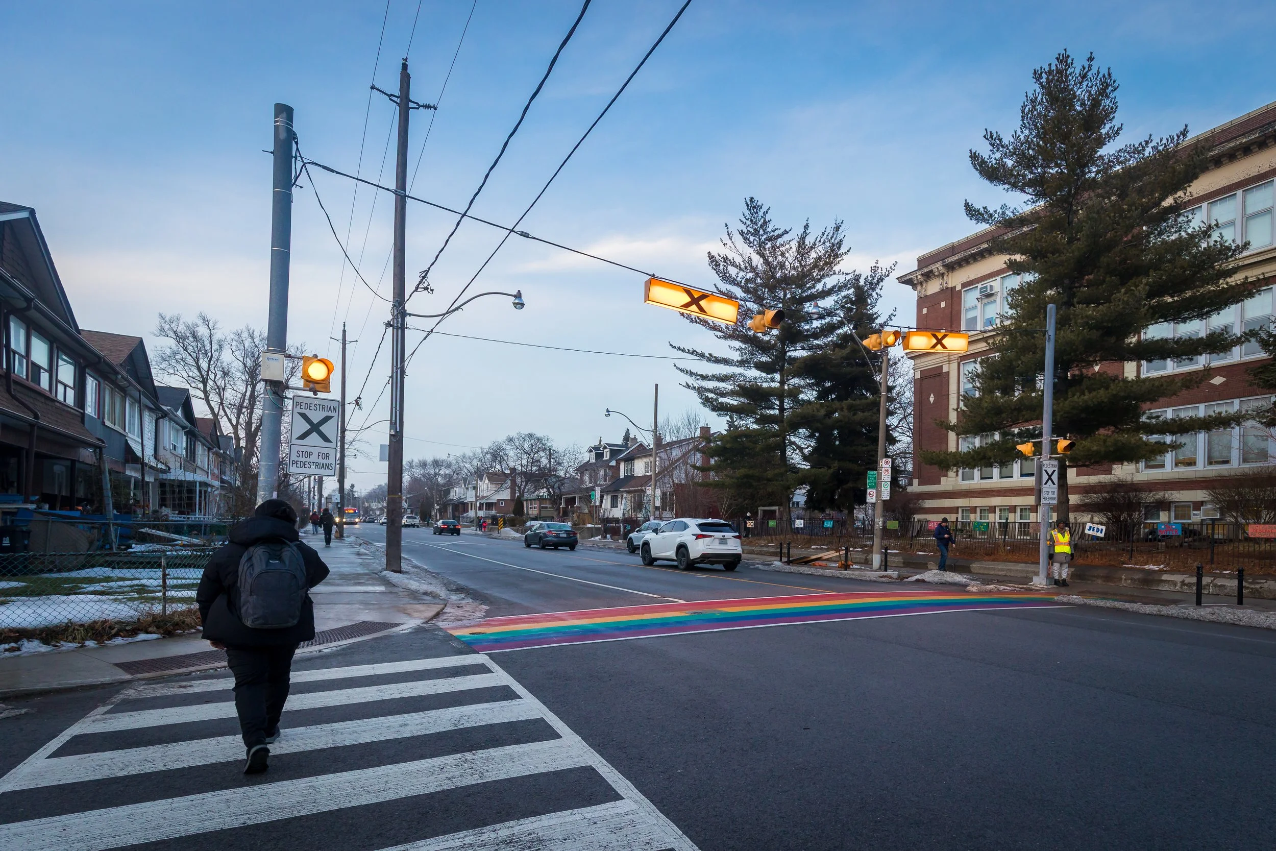
Wilkinson Junior Public School
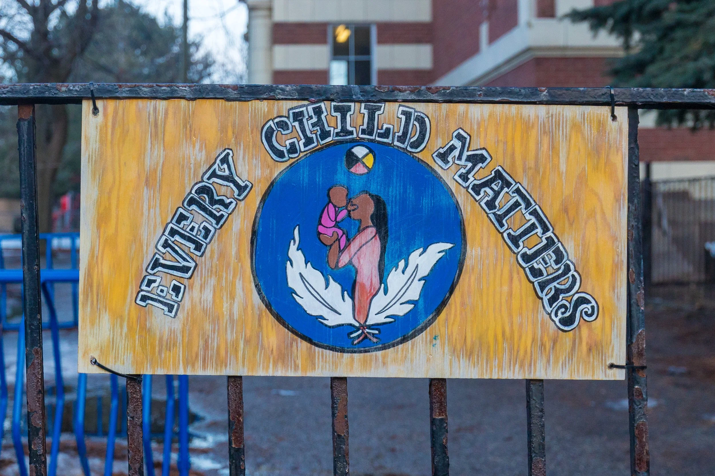
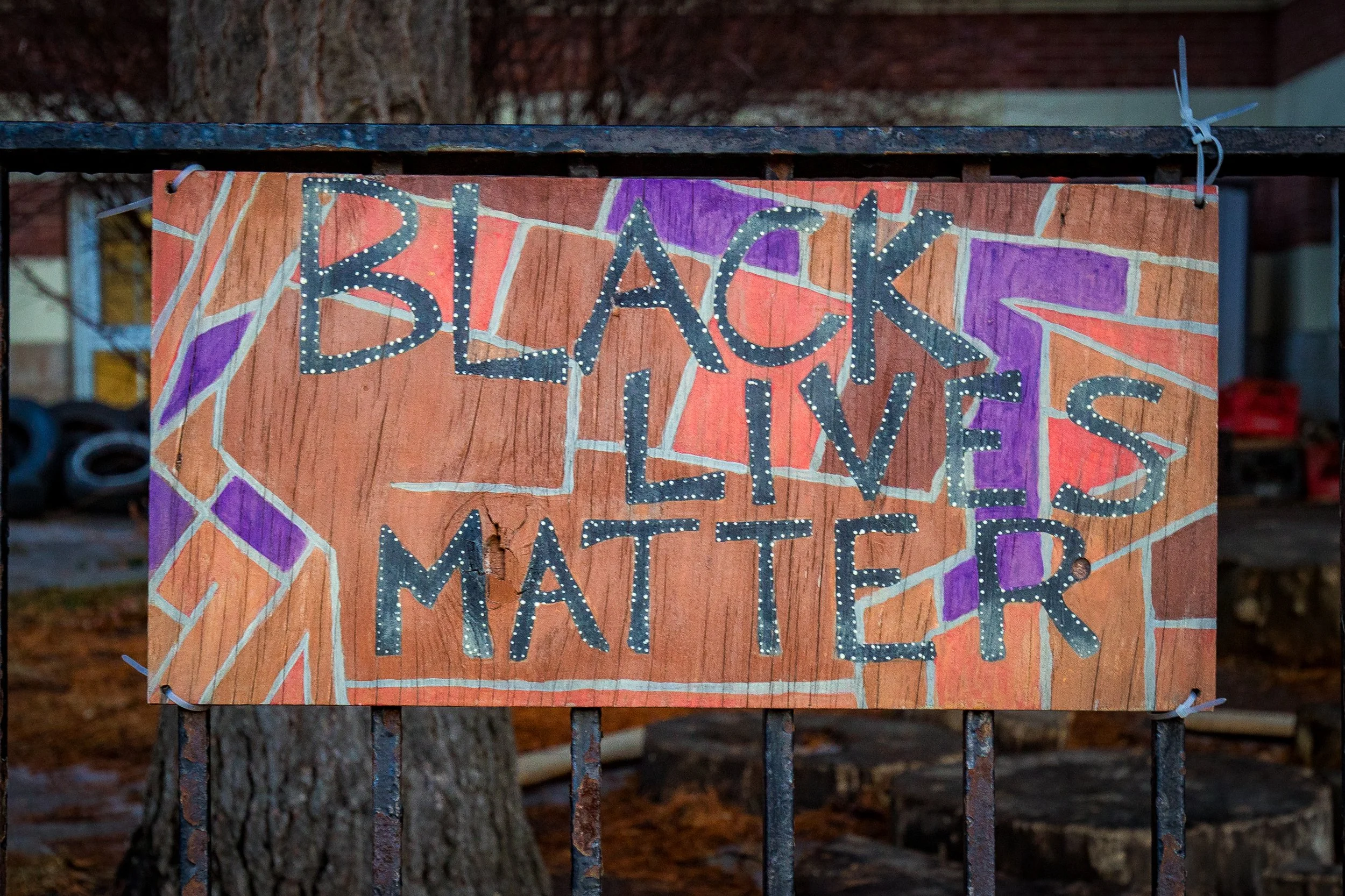
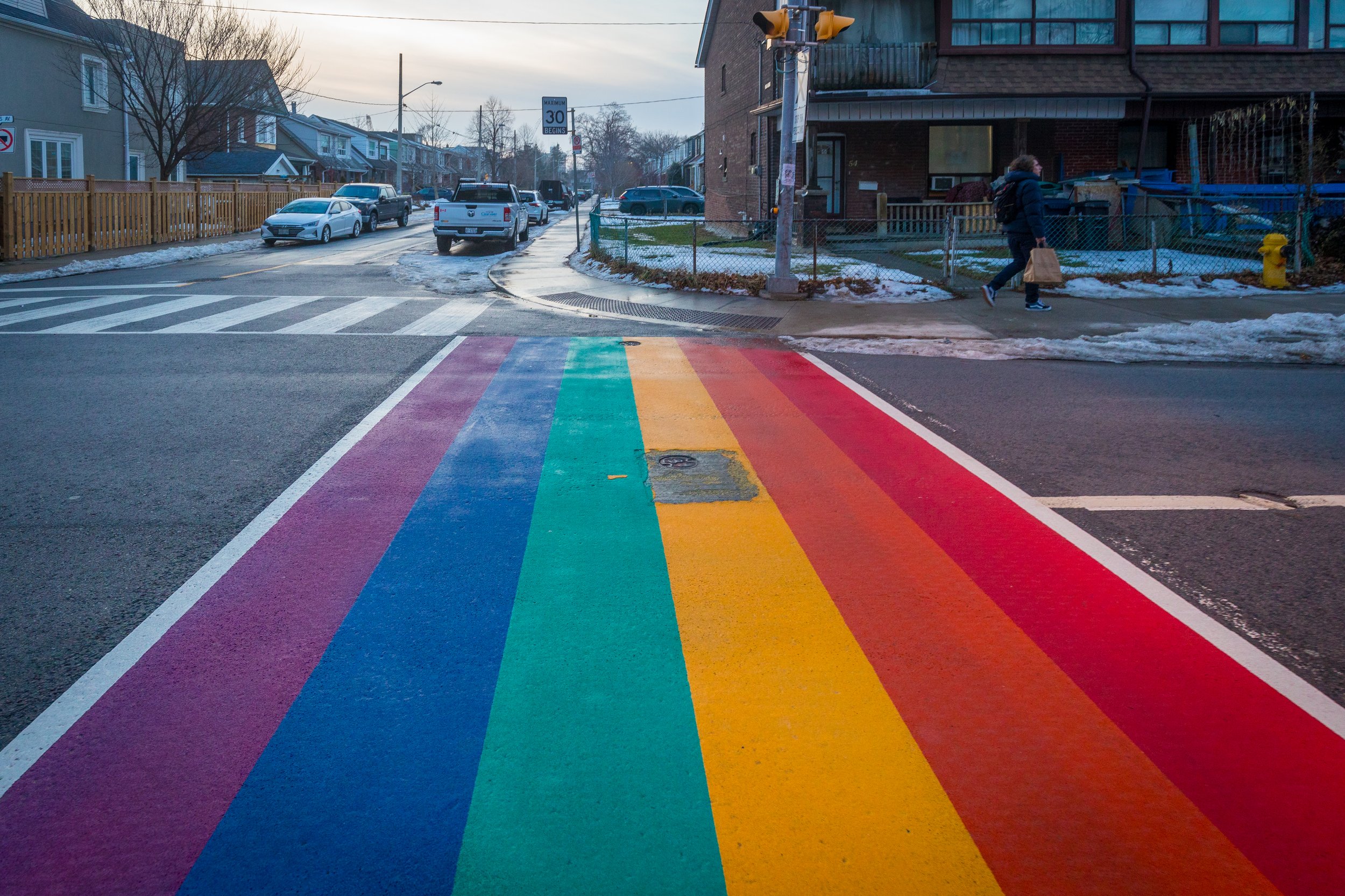
Continuing along the route, the walk passes Wilkinson Junior Public School, where handmade signs line the fence and a rainbow crosswalk marks the intersection nearby. Messages of inclusion and care appear alongside everyday school surroundings, offering a glimpse into how community values show up in shared public space.
The colourful crosswalk adds a bright moment to the winter streetscape, while the signs reflect student and community voices woven into this residential stretch of East York.

FIN
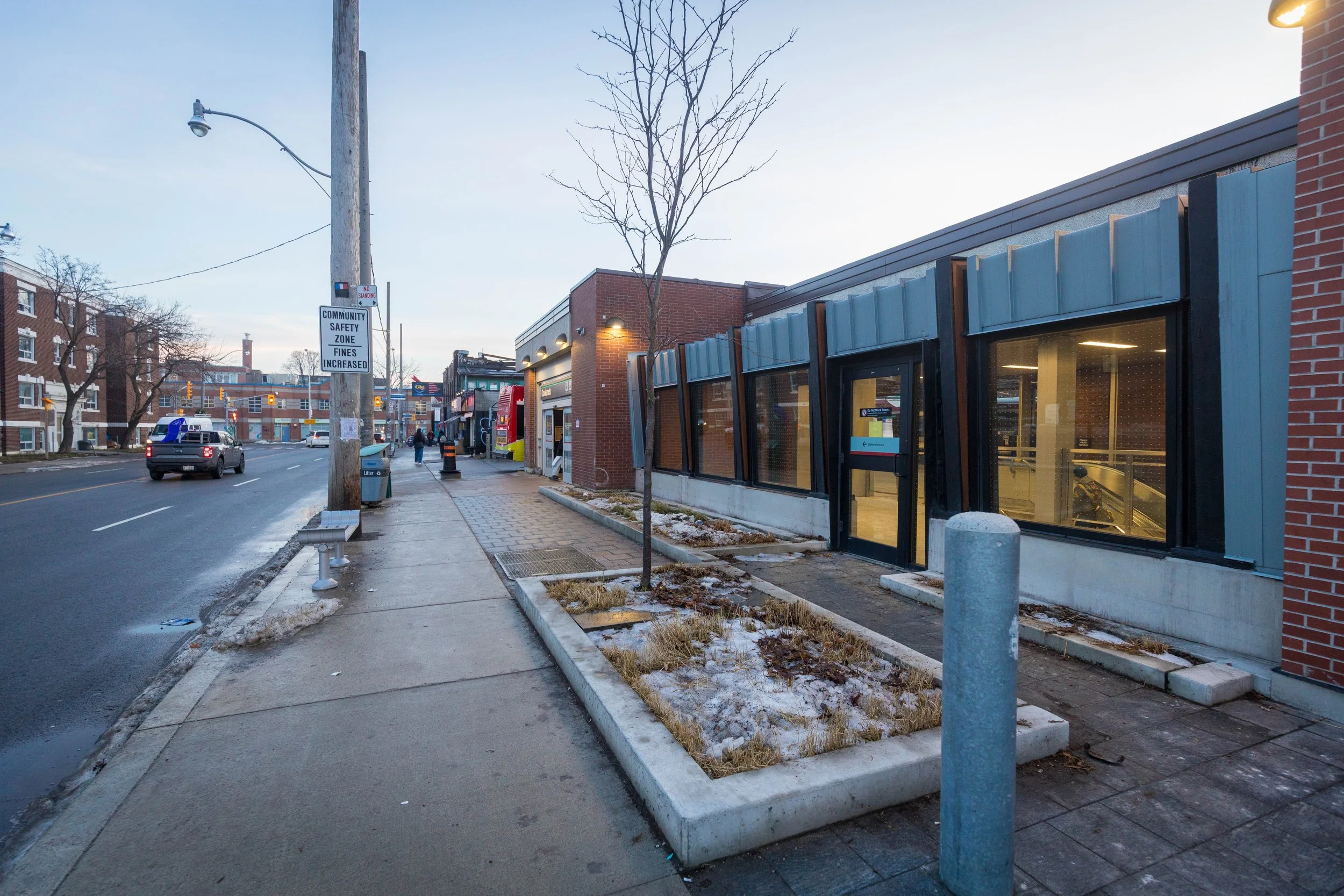
The walk ends at Donlands Subway Station on the Danforth, where neighbourhood streets give way to transit and people heading home. After passing parks, schools, small businesses, and everyday public spaces, it feels like a natural place to stop — reconnecting this East York walk with the rest of the city.